Distance to Rowesville, South Carolina

Calculating Your Route
Just a moment while we process your request...
Location Information
-
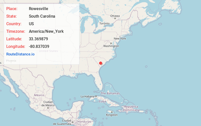
Full AddressRowesville, SC 29133
-
Coordinates33.3698789, -80.8370386
-
LocationRowesville , South Carolina , US
-
TimezoneAmerica/New_York
-
Current Local Time9:37:52 PM America/New_YorkTuesday, June 17, 2025
-
Page Views0
About Rowesville
Rowesville is a town in Orangeburg County, South Carolina, United States. The population was 304 at the 2010 census.
Nearby Places
Found 10 places within 50 miles

Branchville
8.3 mi
13.4 km
Branchville, SC 29432
Get directions

Orangeburg
8.5 mi
13.7 km
Orangeburg, SC
Get directions

Wilkinson Heights
8.5 mi
13.7 km
Wilkinson Heights, SC 29115
Get directions

Bowman
9.1 mi
14.6 km
Bowman, SC 29018
Get directions
Brookdale
9.5 mi
15.3 km
Brookdale, SC 29115
Get directions

Bamberg
12.5 mi
20.1 km
Bamberg, SC 29003
Get directions

Cameron
15.0 mi
24.1 km
Cameron, SC 29030
Get directions

Denmark
17.9 mi
28.8 km
Denmark, SC 29042
Get directions

Elloree
18.9 mi
30.4 km
Elloree, SC 29047
Get directions

St George
19.7 mi
31.7 km
St George, SC 29477
Get directions
Location Links
Local Weather
Weather Information
Coming soon!
Location Map
Static map view of Rowesville, South Carolina
Browse Places by Distance
Places within specific distances from Rowesville
Short Distances
Long Distances
Click any distance to see all places within that range from Rowesville. Distances shown in miles (1 mile ≈ 1.61 kilometers).