Distance to Rubio, Iowa

Calculating Your Route
Just a moment while we process your request...
Location Information
-
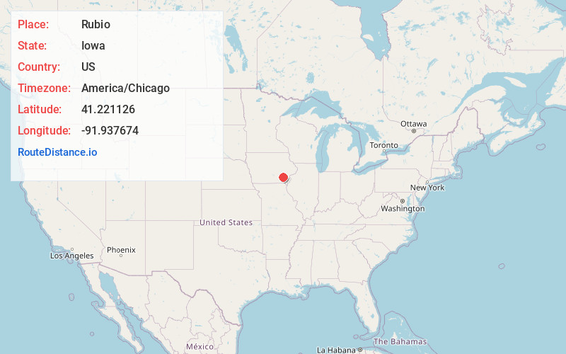
Full AddressRubio, IA 52585
-
Coordinates41.2211258, -91.937674
-
LocationRubio , Iowa , US
-
TimezoneAmerica/Chicago
-
Current Local Time11:58:22 PM America/ChicagoSaturday, June 21, 2025
-
Page Views0
About Rubio
Rubio is an unincorporated community in southwest Washington County, Iowa, United States. It is located on County Highway G67 approximately three miles northeast of Richland in adjacent Keokuk, County. The Skunk River flows past the north side of the community.
Nearby Places
Found 10 places within 50 miles

Richland
3.8 mi
6.1 km
Richland, IA 52585
Get directions
Pleasant Plain
6.5 mi
10.5 km
Pleasant Plain, IA
Get directions

Brighton
6.9 mi
11.1 km
Brighton, IA 52540
Get directions
Ollie
8.2 mi
13.2 km
Ollie, IA 52576
Get directions

Packwood
9.7 mi
15.6 km
Packwood, IA 52580
Get directions
Keota
9.9 mi
15.9 km
Keota, IA 52248
Get directions
West Chester
10.2 mi
16.4 km
West Chester, IA 52359
Get directions
Harper
11.4 mi
18.3 km
Harper, IA 52231
Get directions

Maharishi Vedic City
12.0 mi
19.3 km
Maharishi Vedic City, IA 52556
Get directions
Coppock
12.5 mi
20.1 km
Coppock, IA
Get directions
Location Links
Local Weather
Weather Information
Coming soon!
Location Map
Static map view of Rubio, Iowa
Browse Places by Distance
Places within specific distances from Rubio
Short Distances
Long Distances
Click any distance to see all places within that range from Rubio. Distances shown in miles (1 mile ≈ 1.61 kilometers).