Distance to Russ, Missouri

Calculating Your Route
Just a moment while we process your request...
Location Information
-
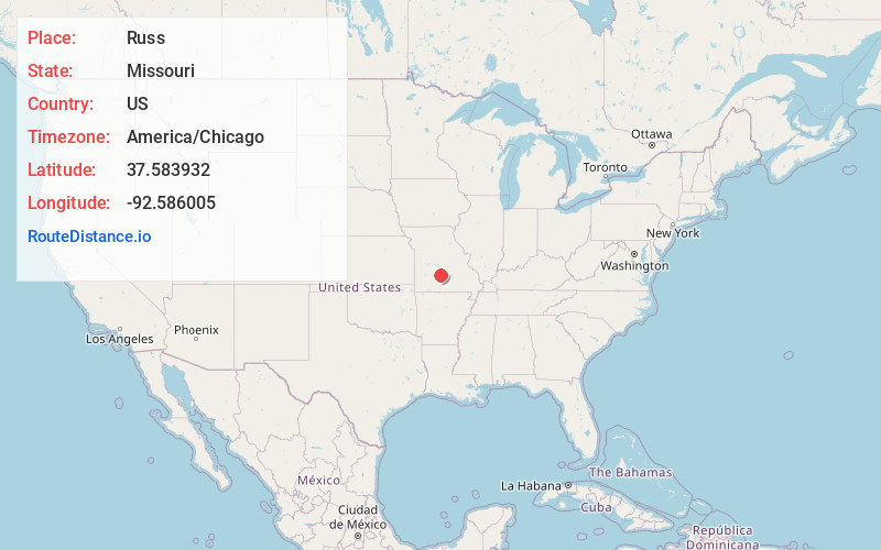
Full AddressRuss, MO 65536
-
Coordinates37.5839324, -92.5860051
-
LocationRuss , Missouri , US
-
TimezoneAmerica/Chicago
-
Current Local Time9:22:19 AM America/ChicagoSaturday, June 21, 2025
-
Page Views0
About Russ
Russ is an unincorporated community in Laclede County, in the Ozarks of south central Missouri. The community is located on Route HH, approximately six miles southeast of Lebanon.
Nearby Places
Found 10 places within 50 miles

Evergreen
2.9 mi
4.7 km
Evergreen, MO
Get directions

Drew
6.9 mi
11.1 km
Drew, MO 65536
Get directions
Caffeyville
7.0 mi
11.3 km
Caffeyville, Phillipsburg Township, MO 65722
Get directions
Morgan
7.1 mi
11.4 km
Morgan, Union Township, MO 65632
Get directions

Lebanon
7.9 mi
12.7 km
Lebanon, MO 65536
Get directions
Drynob
8.3 mi
13.4 km
Drynob, MO 65536
Get directions

Phillipsburg
11.1 mi
17.9 km
Phillipsburg, MO
Get directions
Grovespring
12.8 mi
20.6 km
Grovespring, MO 65662
Get directions

Conway
14.1 mi
22.7 km
Conway, MO 65632
Get directions
Vance
14.6 mi
23.5 km
Vance, Union Township, MO 65713
Get directions
Location Links
Local Weather
Weather Information
Coming soon!
Location Map
Static map view of Russ, Missouri
Browse Places by Distance
Places within specific distances from Russ
Short Distances
Long Distances
Click any distance to see all places within that range from Russ. Distances shown in miles (1 mile ≈ 1.61 kilometers).