Distance to Russells Creek, North Carolina

Calculating Your Route
Just a moment while we process your request...
Location Information
-
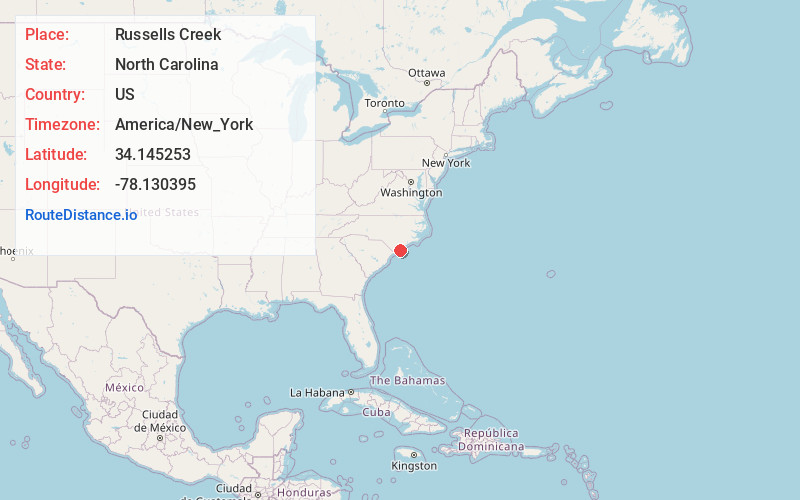
Full AddressRussells Creek, North Carolina
-
Coordinates34.1452528, -78.1303951
-
LocationNorth Carolina , US
-
TimezoneAmerica/New_York
-
Current Local Time5:39:58 AM America/New_YorkWednesday, June 18, 2025
-
Page Views0
Nearby Places
Found 10 places within 50 miles

Winnabow
2.1 mi
3.4 km
Winnabow, NC
Get directions
Bishop
3.5 mi
5.6 km
Bishop, NC 28451
Get directions

Bolivia
5.5 mi
8.9 km
Bolivia, NC 28422
Get directions
Lanvale
5.8 mi
9.3 km
Lanvale, NC 28451
Get directions
Funston
6.7 mi
10.8 km
Funston, NC 28479
Get directions
Half Hell
7.5 mi
12.1 km
Half Hell, NC 28422
Get directions
Eliah
8.0 mi
12.9 km
Eliah, NC 28451
Get directions

Leland
8.0 mi
12.9 km
Leland, NC
Get directions

Brunswick County
9.1 mi
14.6 km
Brunswick County, NC
Get directions
Suburb
9.7 mi
15.6 km
Suburb, NC 28422
Get directions
Location Links
Local Weather
Weather Information
Coming soon!
Location Map
Static map view of Russells Creek, North Carolina
Browse Places by Distance
Places within specific distances from Russells Creek
Short Distances
Long Distances
Click any distance to see all places within that range from Russells Creek. Distances shown in miles (1 mile ≈ 1.61 kilometers).