Distance to Ryder, North Dakota

Calculating Your Route
Just a moment while we process your request...
Location Information
-
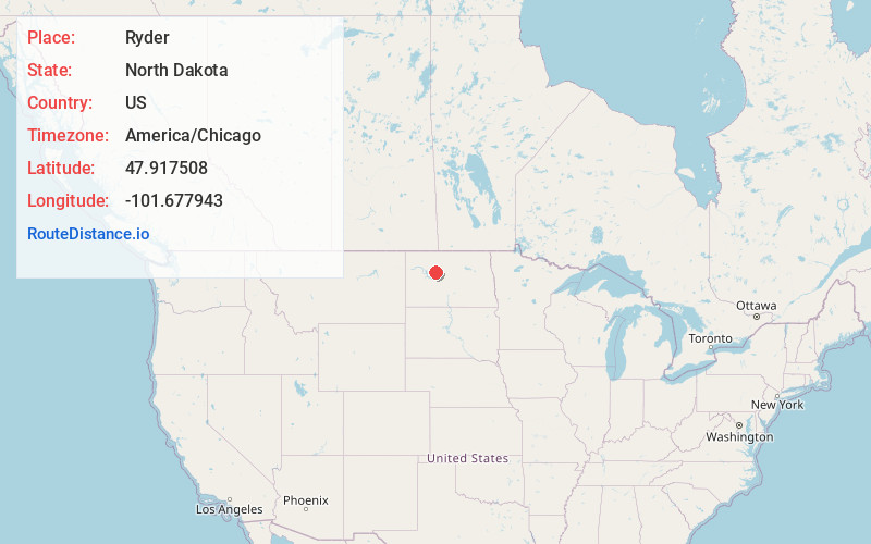
Full AddressRyder, ND 58779
-
Coordinates47.9175076, -101.677943
-
LocationRyder , North Dakota , US
-
TimezoneAmerica/Chicago
-
Current Local Time7:49:18 PM America/ChicagoWednesday, June 4, 2025
-
Page Views0
About Ryder
Ryder is a city in Ward County, North Dakota, United States. The population was 108 at the 2020 census. It is part of the Minot Micropolitan Statistical Area. Ryder was founded in 1906.
Nearby Places
Found 10 places within 50 miles

Plaza
15.1 mi
24.3 km
Plaza, ND 58771
Get directions

Max
18.8 mi
30.3 km
Max, ND 58759
Get directions

White Shield
19.3 mi
31.1 km
White Shield, ND
Get directions

Parshall
21.3 mi
34.3 km
Parshall, ND 58770
Get directions

Garrison
22.0 mi
35.4 km
Garrison, ND 58540
Get directions

Des Lacs
24.1 mi
38.8 km
Des Lacs, ND 58733
Get directions

Burlington
27.3 mi
43.9 km
Burlington, ND
Get directions
Berthold
27.5 mi
44.3 km
Berthold, ND 58718
Get directions

Minot
28.1 mi
45.2 km
Minot, ND
Get directions
Benedict
28.3 mi
45.5 km
Benedict, ND 58716
Get directions
Location Links
Local Weather
Weather Information
Coming soon!
Location Map
Static map view of Ryder, North Dakota
Browse Places by Distance
Places within specific distances from Ryder
Short Distances
Long Distances
Click any distance to see all places within that range from Ryder. Distances shown in miles (1 mile ≈ 1.61 kilometers).