Distance to White Shield, North Dakota

Calculating Your Route
Just a moment while we process your request...
Location Information
-
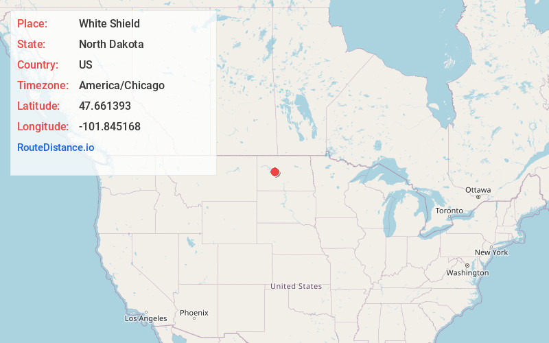
Full AddressWhite Shield, ND
-
Coordinates47.6613928, -101.8451675
-
LocationWhite Shield , North Dakota , US
-
TimezoneAmerica/Chicago
-
Current Local Time1:59:05 PM America/ChicagoMonday, May 19, 2025
-
Page Views0
About White Shield
White Shield is a census-designated place lying within the boundaries of the Mandan, Hidatsa, and Arikara Nation. It is located "on" the Fort Berthold Indian Reservation in McLean County, North Dakota, United States. The population was 363 at the 2020 census.


Nearby Places
Found 10 places within 50 miles

Garrison
20.0 mi
32.2 km
Garrison, ND 58540
Get directions

Parshall
24.2 mi
38.9 km
Parshall, ND 58770
Get directions

Plaza
25.7 mi
41.4 km
Plaza, ND 58771
Get directions

Hazen
27.4 mi
44.1 km
Hazen, ND 58545
Get directions

Golden Valley
27.6 mi
44.4 km
Golden Valley, ND 58541
Get directions

Beulah
27.7 mi
44.6 km
Beulah, ND 58523
Get directions

Halliday
31.2 mi
50.2 km
Halliday, ND 58636
Get directions

Stanton
32.0 mi
51.5 km
Stanton, ND 58571
Get directions

Underwood
35.9 mi
57.8 km
Underwood, ND 58576
Get directions

New Town
37.2 mi
59.9 km
New Town, ND 58763
Get directions
Location Links
Local Weather
Weather Information
Coming soon!
Location Map
Static map view of White Shield, North Dakota
Browse Places by Distance
Places within specific distances from White Shield
Short Distances
Long Distances
Click any distance to see all places within that range from White Shield. Distances shown in miles (1 mile ≈ 1.61 kilometers).