Distance to Sagle, Idaho

Calculating Your Route
Just a moment while we process your request...
Location Information
-
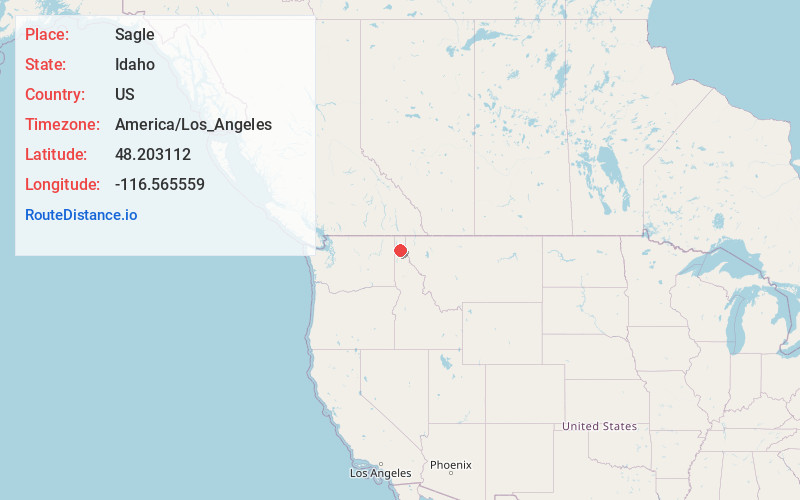
Full AddressSagle, ID
-
Coordinates48.2031124, -116.5655585
-
LocationSagle , Idaho , US
-
TimezoneAmerica/Los_Angeles
-
Current Local Time12:18:53 PM America/Los_AngelesThursday, June 5, 2025
-
Page Views0
About Sagle
Sagle is an unincorporated community in Bonner County, Idaho, located 5 miles south of Sandpoint. Sagle has a post office with ZIP code 83860.
Sagle has an elementary school that lies on Sagle Road, just off the main highway. The mascot of Sagle Elementary is the Hawks.


Nearby Places
Found 10 places within 50 miles

Dover
3.8 mi
6.1 km
Dover, ID
Get directions

Sandpoint
5.1 mi
8.2 km
Sandpoint, ID 83864
Get directions

Cocolalla
7.0 mi
11.3 km
Cocolalla, ID 83860
Get directions

Ponderay
7.2 mi
11.6 km
Ponderay, ID
Get directions

Kootenai
7.8 mi
12.6 km
Kootenai, ID
Get directions

Laclede
9.1 mi
14.6 km
Laclede, ID
Get directions

Seneacquoteen
9.4 mi
15.1 km
Seneacquoteen, ID 83860
Get directions

Hope
12.3 mi
19.8 km
Hope, ID 83836
Get directions

East Hope
12.7 mi
20.4 km
East Hope, ID 83836
Get directions
Colburn
13.5 mi
21.7 km
Colburn, ID 83864
Get directions
Location Links
Local Weather
Weather Information
Coming soon!
Location Map
Static map view of Sagle, Idaho
Browse Places by Distance
Places within specific distances from Sagle
Short Distances
Long Distances
Click any distance to see all places within that range from Sagle. Distances shown in miles (1 mile ≈ 1.61 kilometers).