Distance to Salt Rock, West Virginia

Calculating Your Route
Just a moment while we process your request...
Location Information
-
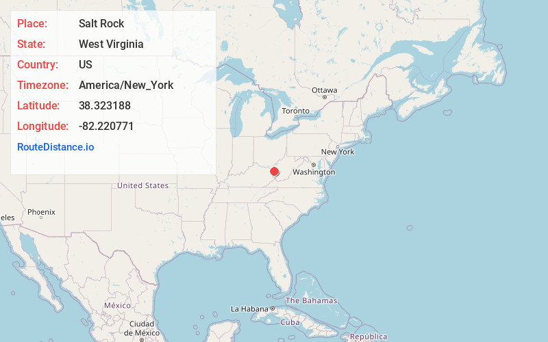
Full AddressSalt Rock, WV
-
Coordinates38.3231877, -82.2207706
-
LocationSalt Rock , West Virginia , US
-
TimezoneAmerica/New_York
-
Current Local Time2:54:03 PM America/New_YorkSunday, June 15, 2025
-
Page Views0
About Salt Rock
Salt Rock is a census-designated place in southern Cabell County, West Virginia, United States. As of the 2010 census, its population was 388. It lies along West Virginia Route 10 southeast of the city of Huntington, the county seat of Cabell County. Its elevation is 581 feet.
Nearby Places
Found 10 places within 50 miles

West Hamlin
2.9 mi
4.7 km
West Hamlin, WV
Get directions

Hamlin
7.1 mi
11.4 km
Hamlin, WV 25523
Get directions

Barboursville
7.2 mi
11.6 km
Barboursville, WV
Get directions

Pea Ridge
8.3 mi
13.4 km
Pea Ridge, WV
Get directions

Milton
9.1 mi
14.6 km
Milton, WV
Get directions

Culloden
11.2 mi
18.0 km
Culloden, WV
Get directions

Proctorville
11.9 mi
19.2 km
Proctorville, OH 45669
Get directions

Lavalette
12.3 mi
19.8 km
Lavalette, WV 25535
Get directions

Hurricane
13.2 mi
21.2 km
Hurricane, WV
Get directions

Lesage
13.3 mi
21.4 km
Lesage, WV
Get directions
Location Links
Local Weather
Weather Information
Coming soon!
Location Map
Static map view of Salt Rock, West Virginia
Browse Places by Distance
Places within specific distances from Salt Rock
Short Distances
Long Distances
Click any distance to see all places within that range from Salt Rock. Distances shown in miles (1 mile ≈ 1.61 kilometers).