Distance to San Onofre Beach, California

Calculating Your Route
Just a moment while we process your request...
Location Information
-
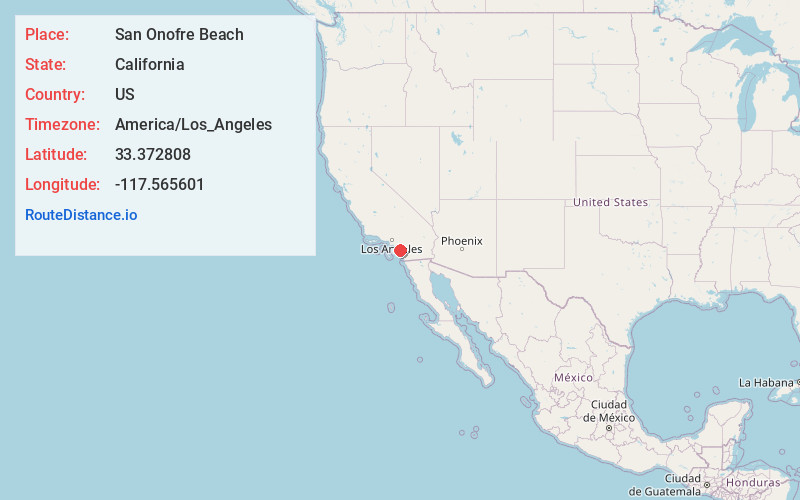
Full AddressSan Onofre Beach, California
-
Coordinates33.3728077, -117.5656012
-
LocationCalifornia , US
-
TimezoneAmerica/Los_Angeles
-
Current Local Time4:30:46 AM America/Los_AngelesTuesday, June 10, 2025
-
Page Views0
About San Onofre Beach
Miles of beaches draw surfers to this 3,000-acre state park with bluffs & a campground.


Nearby Places
Found 10 places within 50 miles

San Clemente
4.6 mi
7.4 km
San Clemente, CA
Get directions

Agra
4.7 mi
7.6 km
Agra, CA
Get directions

Dana Point
10.0 mi
16.1 km
Dana Point, CA
Get directions

San Juan Capistrano
10.5 mi
16.9 km
San Juan Capistrano, CA
Get directions

Chappo
13.0 mi
20.9 km
Chappo, Camp Pendleton North, CA 92058
Get directions

Ladera Ranch
13.0 mi
20.9 km
Ladera Ranch, CA
Get directions

Laguna Niguel
13.5 mi
21.7 km
Laguna Niguel, CA
Get directions
Jofegan
14.0 mi
22.5 km
Jofegan, Camp Pendleton North, CA 92058
Get directions

Camp Pendleton South
14.5 mi
23.3 km
Camp Pendleton South, CA 92058
Get directions

Deluz
14.6 mi
23.5 km
Deluz, CA 92028
Get directions
Location Links
Local Weather
Weather Information
Coming soon!
Location Map
Static map view of San Onofre Beach, California
Browse Places by Distance
Places within specific distances from San Onofre Beach
Short Distances
Long Distances
Click any distance to see all places within that range from San Onofre Beach. Distances shown in miles (1 mile ≈ 1.61 kilometers).