Distance to Sand Hill, Arkansas

Calculating Your Route
Just a moment while we process your request...
Location Information
-
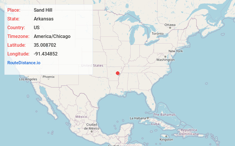
Full AddressSand Hill, AR 72040
-
Coordinates35.0087019, -91.4348518
-
LocationSand Hill , Arkansas , US
-
TimezoneAmerica/Chicago
-
Current Local Time5:03:34 PM America/ChicagoFriday, June 20, 2025
-
Page Views0
Nearby Places
Found 10 places within 50 miles

Little Dixie
4.0 mi
6.4 km
Little Dixie, AR 72040
Get directions

Des Arc
4.2 mi
6.8 km
Des Arc, AR 72040
Get directions
Maberry
6.2 mi
10.0 km
Maberry, AR 72040
Get directions
Daggett
6.7 mi
10.8 km
Daggett, AR 72040
Get directions
McClelland
6.8 mi
10.9 km
McClelland, AR 72006
Get directions
Letchworth
7.5 mi
12.1 km
Letchworth, AR 72040
Get directions

Georgetown
8.3 mi
13.4 km
Georgetown, AR 72143
Get directions
Gospoda
9.0 mi
14.5 km
Gospoda, AR 72040
Get directions
Jasmine
9.3 mi
15.0 km
Jasmine, AR 72060
Get directions
Beulah
9.5 mi
15.3 km
Beulah, AR 72017
Get directions
Location Links
Local Weather
Weather Information
Coming soon!
Location Map
Static map view of Sand Hill, Arkansas
Browse Places by Distance
Places within specific distances from Sand Hill
Short Distances
Long Distances
Click any distance to see all places within that range from Sand Hill. Distances shown in miles (1 mile ≈ 1.61 kilometers).