Distance to Sand Springs, Arizona

Calculating Your Route
Just a moment while we process your request...
Location Information
-
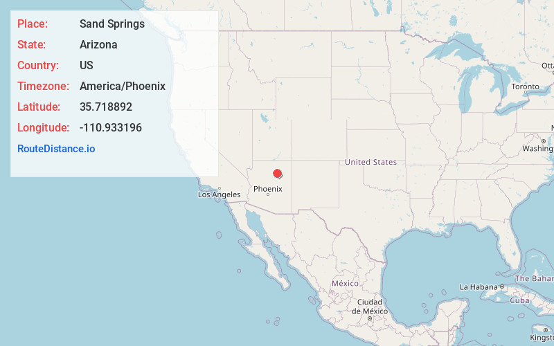
Full AddressSand Springs, AZ 86035
-
Coordinates35.7188915, -110.9331956
-
LocationArizona , US
-
TimezoneAmerica/Phoenix
-
Current Local Time5:14:37 AM America/PhoenixMonday, June 2, 2025
-
Page Views0
About Sand Springs
Sand Springs, also known as Dinnebito or Dinnebito Trading Post, is a populated place situated in Coconino County, Arizona, United States. It is one of two locations in Arizona with this name, the other being located in Apache County.
Nearby Places
Found 10 places within 50 miles

Tiis Holoni
12.6 mi
20.3 km
Tiis Holoni, AZ 86045
Get directions
Tolani Lakes
16.5 mi
26.6 km
Tolani Lakes, Arizona 86035
Get directions
Coal Mine Mesa
16.6 mi
26.7 km
Coal Mine Mesa, AZ 86045
Get directions
Huk Ovi
18.2 mi
29.3 km
Huk Ovi, AZ 86030
Get directions
Oraibi
19.7 mi
31.7 km
Oraibi, Kykotsmovi Village, AZ 86039
Get directions

Kykotsmovi Village
20.4 mi
32.8 km
Kykotsmovi Village, AZ
Get directions
Hotevilla-Bacavi
20.5 mi
33.0 km
Hotevilla-Bacavi, AZ 86030
Get directions
Bacavi
20.8 mi
33.5 km
Bacavi, Hotevilla-Bacavi, AZ 86030
Get directions
Shongopovi
23.4 mi
37.7 km
Shongopovi, AZ 86043
Get directions
Shungopavi
23.5 mi
37.8 km
Shungopavi, Shongopovi, AZ 86043
Get directions
Location Links
Local Weather
Weather Information
Coming soon!
Location Map
Static map view of Sand Springs, Arizona
Browse Places by Distance
Places within specific distances from Sand Springs
Short Distances
Long Distances
Click any distance to see all places within that range from Sand Springs. Distances shown in miles (1 mile ≈ 1.61 kilometers).