Distance to Coal Mine Mesa, Arizona

Calculating Your Route
Just a moment while we process your request...
Location Information
-
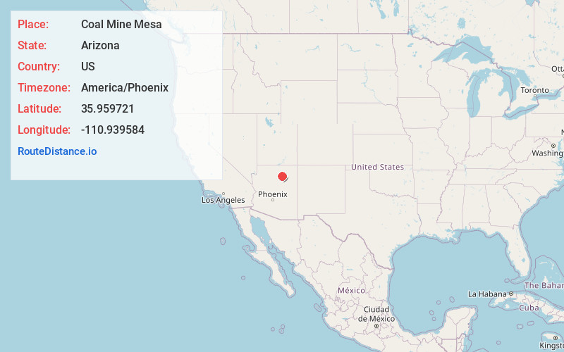
Full AddressCoal Mine Mesa, AZ 86045
-
Coordinates35.9597212, -110.9395844
-
LocationArizona , US
-
TimezoneAmerica/Phoenix
-
Current Local Time8:48:31 AM America/PhoenixWednesday, May 28, 2025
-
Page Views0
Nearby Places
Found 10 places within 50 miles

Bacavi
15.7 mi
25.3 km
Bacavi, Hotevilla-Bacavi, AZ 86030
Get directions
Oraibi
17.7 mi
28.5 km
Oraibi, Kykotsmovi Village, AZ 86039
Get directions

Kykotsmovi Village
18.7 mi
30.1 km
Kykotsmovi Village, AZ
Get directions

Moenkopi
18.9 mi
30.4 km
Moenkopi, AZ 86045
Get directions

Tuba City
20.7 mi
33.3 km
Tuba City, AZ 86045
Get directions
Shongopovi
24.7 mi
39.8 km
Shongopovi, AZ 86043
Get directions

Red Lake
25.1 mi
40.4 km
Red Lake, Tonalea, AZ 86044
Get directions

Tonalea
25.1 mi
40.4 km
Tonalea, AZ 86044
Get directions

Second Mesa
26.9 mi
43.3 km
Second Mesa, AZ 86043
Get directions

Cameron
27.1 mi
43.6 km
Cameron, AZ 86020
Get directions
Location Links
Local Weather
Weather Information
Coming soon!
Location Map
Static map view of Coal Mine Mesa, Arizona
Browse Places by Distance
Places within specific distances from Coal Mine Mesa
Short Distances
Long Distances
Click any distance to see all places within that range from Coal Mine Mesa. Distances shown in miles (1 mile ≈ 1.61 kilometers).