Distance to Sandford, Indiana

Calculating Your Route
Just a moment while we process your request...
Location Information
-
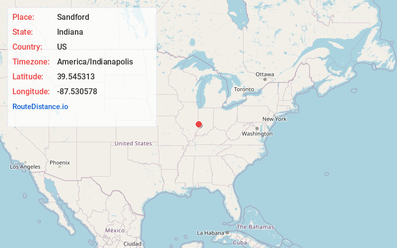
Full AddressSandford, IN 47885
-
Coordinates39.545313, -87.530578
-
LocationSandford , Indiana , US
-
TimezoneAmerica/Indianapolis
-
Page Views0
About Sandford
Sandford is an unincorporated community in Fayette Township, Vigo County, in the U.S. state of Indiana. The community is part of the Terre Haute Metropolitan Statistical Area. A small portion of Sandford, now known as West Sandford or “Stringtown”, is in Illinois.
Nearby Places
Found 10 places within 50 miles

Green Valley Mine Pond
2.6 mi
4.2 km
Green Valley Mine Pond, Sugar Creek Township, IN 47885
Get directions

Pine Ridge
3.1 mi
5.0 km
Pine Ridge, IN 47885
Get directions
Shirkieville
3.9 mi
6.3 km
Shirkieville, IN 47885
Get directions
Vermilion
4.0 mi
6.4 km
Vermilion, IL
Get directions
Libertyville
4.0 mi
6.4 km
Libertyville, IN 47885
Get directions

St Mary-Of-The-Woods
4.1 mi
6.6 km
St Mary-Of-The-Woods, IN
Get directions
New Goshen
4.4 mi
7.1 km
New Goshen, IN
Get directions
Ferrel
4.5 mi
7.2 km
Ferrel, Elbridge Township, IL 61944
Get directions
Marley
5.0 mi
8.0 km
Marley, Elbridge Township, IL 61944
Get directions
Liggett
5.2 mi
8.4 km
Liggett, IN 47885
Get directions
Location Links
Local Weather
Weather Information
Coming soon!
Location Map
Static map view of Sandford, Indiana
Browse Places by Distance
Places within specific distances from Sandford
Short Distances
Long Distances
Click any distance to see all places within that range from Sandford. Distances shown in miles (1 mile ≈ 1.61 kilometers).