Distance to Sanford, Michigan

Calculating Your Route
Just a moment while we process your request...
Location Information
-
Full AddressSanford, MI 48657
-
Coordinates43.6728053, -84.3805544
-
LocationSanford , Michigan , US
-
TimezoneAmerica/Detroit
-
Current Local Time6:48:54 PM America/DetroitFriday, June 20, 2025
-
Page Views0
About Sanford
Sanford is a village in Midland County in the U.S. state of Michigan. The population was 813 at the 2020 census. The village is located within Jerome Township.


Nearby Places
Found 10 places within 50 miles

Midland
7.8 mi
12.6 km
Midland, MI
Get directions

Coleman
11.8 mi
19.0 km
Coleman, MI 48618
Get directions

Beaverton
15.4 mi
24.8 km
Beaverton, MI 48612
Get directions

Auburn
16.3 mi
26.2 km
Auburn, MI 48611
Get directions

Freeland
16.5 mi
26.6 km
Freeland, MI 48623
Get directions

Merrill
18.3 mi
29.5 km
Merrill, MI 48637
Get directions

Shepherd
18.8 mi
30.3 km
Shepherd, MI 48883
Get directions

Breckenridge
18.9 mi
30.4 km
Breckenridge, MI 48615
Get directions

Hemlock
19.3 mi
31.1 km
Hemlock, MI 48626
Get directions

Mt Pleasant
20.0 mi
32.2 km
Mt Pleasant, MI 48858
Get directions
Location Links
Local Weather
Weather Information
Coming soon!
Location Map
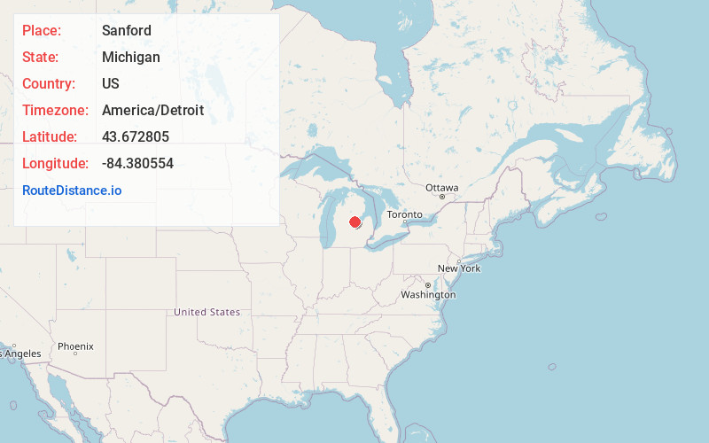
Static map view of Sanford, Michigan
Browse Places by Distance
Places within specific distances from Sanford
Short Distances
Long Distances
Click any distance to see all places within that range from Sanford. Distances shown in miles (1 mile ≈ 1.61 kilometers).