Distance to Schubert, Pennsylvania

Calculating Your Route
Just a moment while we process your request...
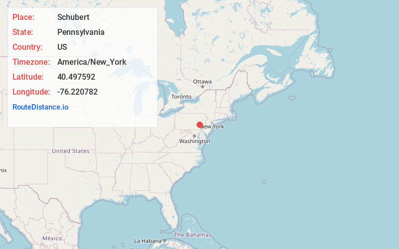
Location Information
-
Full AddressSchubert, PA 19507
-
Coordinates40.4975924, -76.2207817
-
LocationSchubert , Pennsylvania , US
-
TimezoneAmerica/New_York
-
Current Local Time9:35:27 AM America/New_YorkWednesday, June 4, 2025
-
Page Views0
About Schubert
Schubert is a census-designated place in northeastern Bethel Township, Berks County, Pennsylvania. It is located off PA Route 419 just north of its interchange with Interstate 78 on the southern flank of Blue Mountain.
Schubert is drained by the Stone Creek south into the Little Swatara Creek.
Nearby Places
Found 10 places within 50 miles

Strausstown
2.0 mi
3.2 km
Strausstown, PA
Get directions

Rehrersburg
3.0 mi
4.8 km
Rehrersburg, PA
Get directions

Upper Tulpehocken Township
3.1 mi
5.0 km
Upper Tulpehocken Township, PA
Get directions

Bethel
4.1 mi
6.6 km
Bethel, PA 19507
Get directions
New Shaefferstown
4.1 mi
6.6 km
New Shaefferstown, New Schaefferstown, PA 19506
Get directions
Summit Station
4.7 mi
7.6 km
Summit Station, PA
Get directions

Shartlesville
6.2 mi
10.0 km
Shartlesville, PA
Get directions
Mt Aetna
6.7 mi
10.8 km
Mt Aetna, PA
Get directions

Lake Wynonah
6.7 mi
10.8 km
Lake Wynonah, PA
Get directions
Upper Bern Township
6.8 mi
10.9 km
Upper Bern Township, PA
Get directions
Location Links
Local Weather
Weather Information
Coming soon!
Location Map
Static map view of Schubert, Pennsylvania
Browse Places by Distance
Places within specific distances from Schubert
Short Distances
Long Distances
Click any distance to see all places within that range from Schubert. Distances shown in miles (1 mile ≈ 1.61 kilometers).