Distance to Selden, Texas

Calculating Your Route
Just a moment while we process your request...
Location Information
-
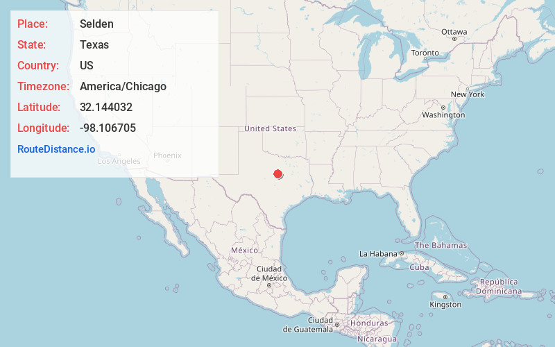
Full AddressSelden, TX 76401
-
Coordinates32.1440318, -98.1067045
-
LocationTexas , US
-
TimezoneAmerica/Chicago
-
Current Local Time12:29:28 AM America/ChicagoTuesday, June 24, 2025
-
Page Views0
About Selden
Selden is an unincorporated community in south central Erath County, Texas, United States. The community is located along Fm-913 between U.S. Routes 67 and 281, approximately 9 miles south-southeast of Stephenville. It was named after a man who owned a nearby ranch during the 1850s.
Nearby Places
Found 10 places within 50 miles

Clairette
7.3 mi
11.7 km
Clairette, TX 76446
Get directions

Stephenville
7.7 mi
12.4 km
Stephenville, TX 76401
Get directions
Alexander
8.3 mi
13.4 km
Alexander, TX 76446
Get directions

Hico
11.9 mi
19.2 km
Hico, TX 76457
Get directions

Dublin
14.4 mi
23.2 km
Dublin, TX 76446
Get directions
Paluxy
14.6 mi
23.5 km
Paluxy, TX 76433
Get directions

Bluff Dale
15.1 mi
24.3 km
Bluff Dale, TX 76433
Get directions
Bunyan
15.2 mi
24.5 km
Bunyan, TX 76446
Get directions

Carlton
16.1 mi
25.9 km
Carlton, TX
Get directions
Lingleville
17.3 mi
27.8 km
Lingleville, TX
Get directions
Location Links
Local Weather
Weather Information
Coming soon!
Location Map
Static map view of Selden, Texas
Browse Places by Distance
Places within specific distances from Selden
Short Distances
Long Distances
Click any distance to see all places within that range from Selden. Distances shown in miles (1 mile ≈ 1.61 kilometers).