Distance to Selma, Arkansas

Calculating Your Route
Just a moment while we process your request...
Location Information
-
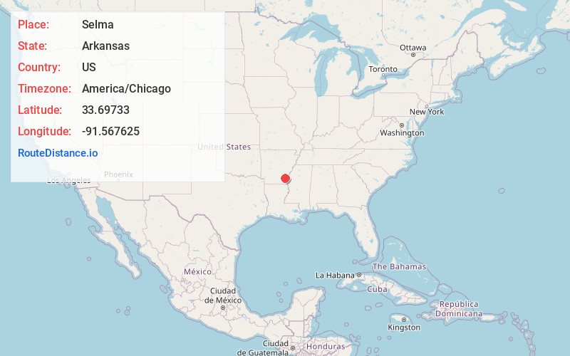
Full AddressSelma, AR 71670
-
Coordinates33.6973297, -91.5676252
-
LocationSelma , Arkansas , US
-
TimezoneAmerica/Chicago
-
Current Local Time6:11:39 PM America/ChicagoThursday, June 19, 2025
-
Page Views0
About Selma
Selma is an unincorporated community in Drew County, Arkansas, United States.
Selma is the location of a historic Rosenwald School, the Selma Rosenwald School, that was built in 1924 and is listed on the National Register of Historic Places.
Nearby Places
Found 10 places within 50 miles

Tillar
6.7 mi
10.8 km
Tillar, AR 71670
Get directions

Reed
7.1 mi
11.4 km
Reed, AR
Get directions
Winchester
7.4 mi
11.9 km
Winchester, AR
Get directions
Yukon
8.6 mi
13.8 km
Yukon, AR 71677
Get directions
Omega
10.0 mi
16.1 km
Omega, AR 71662
Get directions
Gourd
10.3 mi
16.6 km
Gourd, AR 71639
Get directions
Cominto
11.0 mi
17.7 km
Cominto, AR 71638
Get directions
Collins
11.5 mi
18.5 km
Collins, AR 71638
Get directions
Coleman
11.7 mi
18.8 km
Coleman, AR 71655
Get directions

McGehee
12.2 mi
19.6 km
McGehee, AR 71654
Get directions
Location Links
Local Weather
Weather Information
Coming soon!
Location Map
Static map view of Selma, Arkansas
Browse Places by Distance
Places within specific distances from Selma
Short Distances
Long Distances
Click any distance to see all places within that range from Selma. Distances shown in miles (1 mile ≈ 1.61 kilometers).