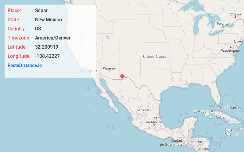
Distance to Separ, New Mexico

Calculating Your Route
Just a moment while we process your request...
Location Information
-
Full AddressSepar, NM 88045
-
Coordinates32.2009193, -108.4222702
-
LocationNew Mexico , US
-
TimezoneAmerica/Denver
-
Current Local Time10:19:05 AM America/DenverThursday, June 26, 2025
-
Page Views0
About Separ
Separ is an unincorporated desert hamlet in Grant County in the bootheel of southwestern New Mexico, in the southwestern United States. Although it is called a ghost town by some on the internet, it currently has a small population.
Nearby Places
Found 10 places within 50 miles

Pothook
16.2 mi
26.1 km
Pothook, NM 88040
Get directions

Windmill
19.4 mi
31.2 km
Windmill, NM 88020
Get directions
Lordsburg
19.7 mi
31.7 km
Lordsburg, NM 88045
Get directions
Hachita
20.4 mi
32.8 km
Hachita, NM 88040
Get directions

Glen Acres
21.1 mi
34.0 km
Glen Acres, NM 88045
Get directions
White Signal
24.7 mi
39.8 km
White Signal, NM 88061
Get directions

Cotton City
27.8 mi
44.7 km
Cotton City, NM 88020
Get directions

Mondel
29.1 mi
46.8 km
Mondel, NM 88020
Get directions

McGhee Wells
29.9 mi
48.1 km
McGhee Wells, NM 88020
Get directions

Whitewater
31.2 mi
50.2 km
Whitewater, NM 88061
Get directions
Location Links
Local Weather
Weather Information
Coming soon!
Location Map

Static map view of Separ, New Mexico
Browse Places by Distance
Places within specific distances from Separ
Short Distances
Long Distances
Click any distance to see all places within that range from Separ. Distances shown in miles (1 mile ≈ 1.61 kilometers).