Distance to Shade River State Forest, Ohio

Calculating Your Route
Just a moment while we process your request...
Location Information
-
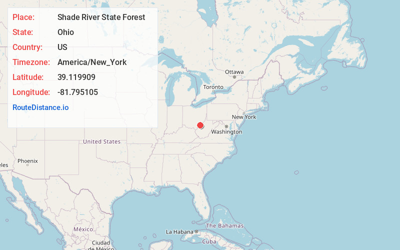
Full AddressShade River State Forest, Ohio
-
Coordinates39.1199087, -81.7951054
-
LocationOhio , US
-
TimezoneAmerica/New_York
-
Current Local Time11:56:49 PM America/New_YorkThursday, June 19, 2025
-
Page Views0


Nearby Places
Found 10 places within 50 miles

Long Bottom
2.4 mi
3.9 km
Long Bottom, OH 45743
Get directions

Tuppers Plains
4.4 mi
7.1 km
Tuppers Plains, OH
Get directions
Hockingport
5.3 mi
8.5 km
Hockingport, OH
Get directions
Meigs
6.3 mi
10.1 km
Meigs, OH 45772
Get directions
Topins Grove
6.7 mi
10.8 km
Topins Grove, WV 26164
Get directions

Coolville
7.0 mi
11.3 km
Coolville, OH 45723
Get directions

Little Hocking
11.0 mi
17.7 km
Little Hocking, OH 45742
Get directions

Washington
11.1 mi
17.9 km
Washington, WV 26181
Get directions
Redbush
11.8 mi
19.0 km
Redbush, Belpre Township, OH 45742
Get directions

Lubeck
11.9 mi
19.2 km
Lubeck, WV
Get directions
Location Links
Local Weather
Weather Information
Coming soon!
Location Map
Static map view of Shade River State Forest, Ohio
Browse Places by Distance
Places within specific distances from Shade River State Forest
Short Distances
Long Distances
Click any distance to see all places within that range from Shade River State Forest. Distances shown in miles (1 mile ≈ 1.61 kilometers).