Distance to Shadwell, Virginia

Calculating Your Route
Just a moment while we process your request...
Location Information
-
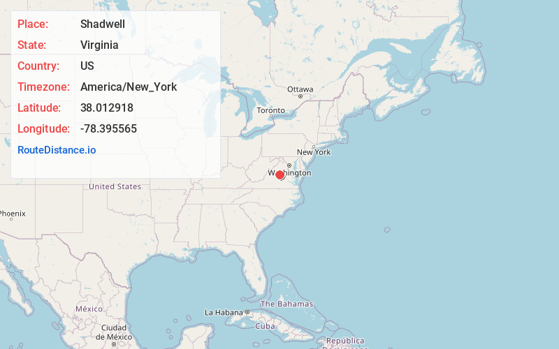
Full AddressShadwell, VA 22911
-
Coordinates38.0129175, -78.3955647
-
LocationShadwell , Virginia , US
-
TimezoneAmerica/New_York
-
Current Local Time10:23:30 PM America/New_YorkThursday, June 5, 2025
-
Page Views0
About Shadwell
Shadwell is a census-designated place in Albemarle County, Virginia. It is located by the Rivanna River near Charlottesville.
Nearby Places
Found 10 places within 50 miles

Rivanna
1.4 mi
2.3 km
Rivanna, VA 22947
Get directions

Keswick
2.0 mi
3.2 km
Keswick, VA 22947
Get directions

Pantops
2.6 mi
4.2 km
Pantops, VA
Get directions
Rugby
3.8 mi
6.1 km
Rugby, VA 22947
Get directions

Charlottesville
4.6 mi
7.4 km
Charlottesville, VA
Get directions
Campbell
5.2 mi
8.4 km
Campbell, VA 22947
Get directions
Cismont
5.4 mi
8.7 km
Cismont, VA 22947
Get directions

University of Virginia
6.3 mi
10.1 km
University of Virginia, Charlottesville, VA
Get directions
Rio
6.4 mi
10.3 km
Rio, VA 22901
Get directions
Paynes Mill
7.1 mi
11.4 km
Paynes Mill, VA 22974
Get directions
Location Links
Local Weather
Weather Information
Coming soon!
Location Map
Static map view of Shadwell, Virginia
Browse Places by Distance
Places within specific distances from Shadwell
Short Distances
Long Distances
Click any distance to see all places within that range from Shadwell. Distances shown in miles (1 mile ≈ 1.61 kilometers).