Distance to Shady Brook, New Mexico

Calculating Your Route
Just a moment while we process your request...
Location Information
-
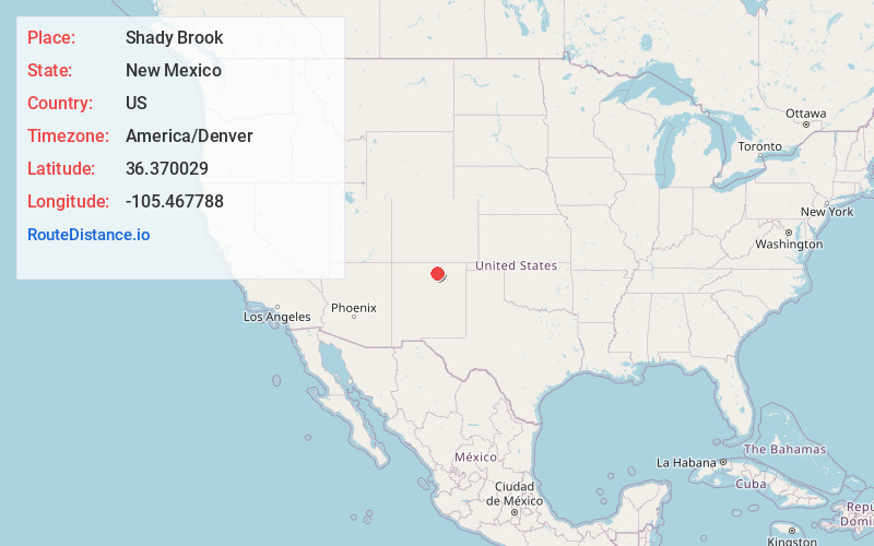
Full AddressShady Brook, NM 87571
-
Coordinates36.3700287, -105.4677877
-
LocationShady Brook , New Mexico , US
-
TimezoneAmerica/Denver
-
Current Local Time3:23:37 AM America/DenverFriday, June 20, 2025
-
Page Views0
Nearby Places
Found 10 places within 50 miles

Taos Pueblo
6.4 mi
10.3 km
Taos Pueblo, NM
Get directions

Ranchos De Taos
7.9 mi
12.7 km
Ranchos De Taos, NM
Get directions

Llano Quemado
8.2 mi
13.2 km
Llano Quemado, NM 87557
Get directions

Pot Creek
8.8 mi
14.2 km
Pot Creek, NM 87571
Get directions

Angel Fire
10.3 mi
16.6 km
Angel Fire, NM
Get directions

Arroyo Seco
11.6 mi
18.7 km
Arroyo Seco, NM
Get directions
Idlewild
15.3 mi
24.6 km
Idlewild, NM 87718
Get directions

Taos Ski Valley
15.6 mi
25.1 km
Taos Ski Valley, NM 87525
Get directions

Arroyo Hondo
15.8 mi
25.4 km
Arroyo Hondo, NM 87529
Get directions

Eagle Nest
17.1 mi
27.5 km
Eagle Nest, NM
Get directions
Location Links
Local Weather
Weather Information
Coming soon!
Location Map
Static map view of Shady Brook, New Mexico
Browse Places by Distance
Places within specific distances from Shady Brook
Short Distances
Long Distances
Click any distance to see all places within that range from Shady Brook. Distances shown in miles (1 mile ≈ 1.61 kilometers).