Distance to Shady, Arkansas

Calculating Your Route
Just a moment while we process your request...
Location Information
-
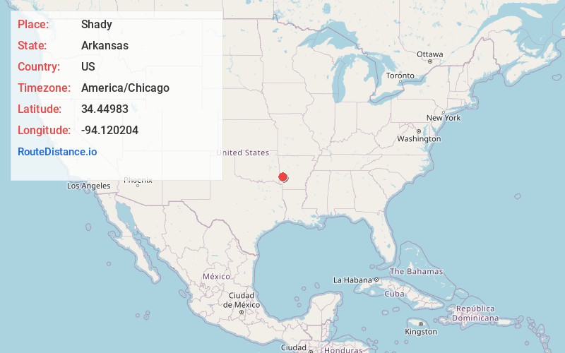
Full AddressShady, AR 71953
-
Coordinates34.4498301, -94.1202042
-
LocationArkansas , US
-
TimezoneAmerica/Chicago
-
Current Local Time10:13:52 PM America/ChicagoTuesday, June 3, 2025
-
Page Views0
Nearby Places
Found 10 places within 50 miles

Board Camp
6.2 mi
10.0 km
Board Camp, AR 71953
Get directions
Opal
9.7 mi
15.6 km
Opal, AR 71953
Get directions

Mena
11.4 mi
18.3 km
Mena, AR 71953
Get directions

Acorn
14.1 mi
22.7 km
Acorn, AR 71953
Get directions
Vandervoort
14.8 mi
23.8 km
Vandervoort, AR
Get directions
Hatfield
14.9 mi
24.0 km
Hatfield, AR 71945
Get directions
Pine Ridge
15.2 mi
24.5 km
Pine Ridge, AR 71961
Get directions
Wickes
16.1 mi
25.9 km
Wickes, AR
Get directions
Cove
16.6 mi
26.7 km
Cove, AR 71937
Get directions

Grannis
18.9 mi
30.4 km
Grannis, AR
Get directions
Location Links
Local Weather
Weather Information
Coming soon!
Location Map
Static map view of Shady, Arkansas
Browse Places by Distance
Places within specific distances from Shady
Short Distances
Long Distances
Click any distance to see all places within that range from Shady. Distances shown in miles (1 mile ≈ 1.61 kilometers).