Distance to Shady, Florida

Calculating Your Route
Just a moment while we process your request...
Location Information
-
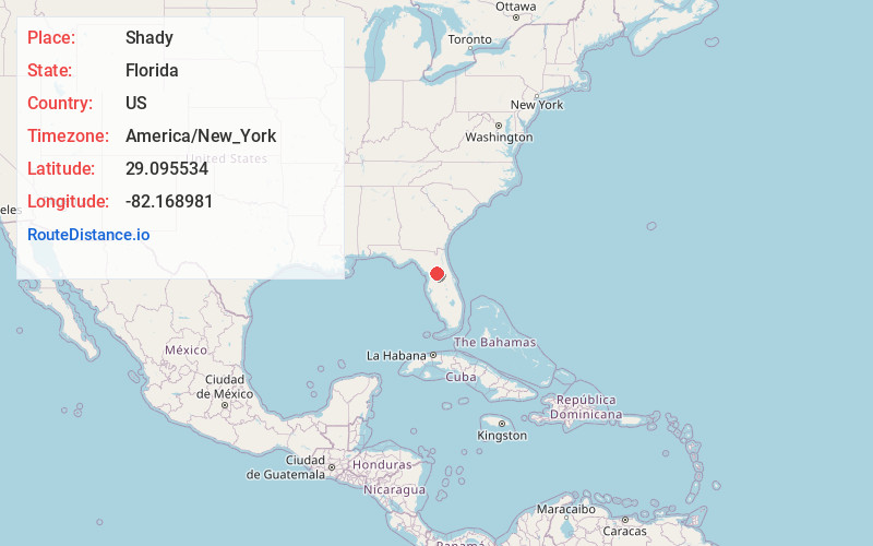
Full AddressShady, FL 34476
-
Coordinates29.0955337, -82.1689812
-
LocationFlorida , US
-
TimezoneAmerica/New_York
-
Current Local Time6:49:33 AM America/New_YorkMonday, June 2, 2025
-
Page Views0
Nearby Places
Found 10 places within 50 miles

Santos
4.7 mi
7.6 km
Santos, FL 34480
Get directions
Camp Roosevelt
4.8 mi
7.7 km
Camp Roosevelt, FL 34480
Get directions

Marion Oaks
6.1 mi
9.8 km
Marion Oaks, FL
Get directions

Ocala
6.5 mi
10.5 km
Ocala, FL
Get directions
Montague
6.8 mi
10.9 km
Montague, Ocala, FL 34480
Get directions

Belleview
7.0 mi
11.3 km
Belleview, FL
Get directions
Martel
7.8 mi
12.6 km
Martel, FL 34474
Get directions
Ross Prairie
8.1 mi
13.0 km
Ross Prairie, Florida 34432
Get directions
Huntington
8.3 mi
13.4 km
Huntington, FL 34480
Get directions
Pedro
8.4 mi
13.5 km
Pedro, FL 34491
Get directions
Location Links
Local Weather
Weather Information
Coming soon!
Location Map
Static map view of Shady, Florida
Browse Places by Distance
Places within specific distances from Shady
Short Distances
Long Distances
Click any distance to see all places within that range from Shady. Distances shown in miles (1 mile ≈ 1.61 kilometers).