Distance to Shandon, California

Calculating Your Route
Just a moment while we process your request...
Location Information
-
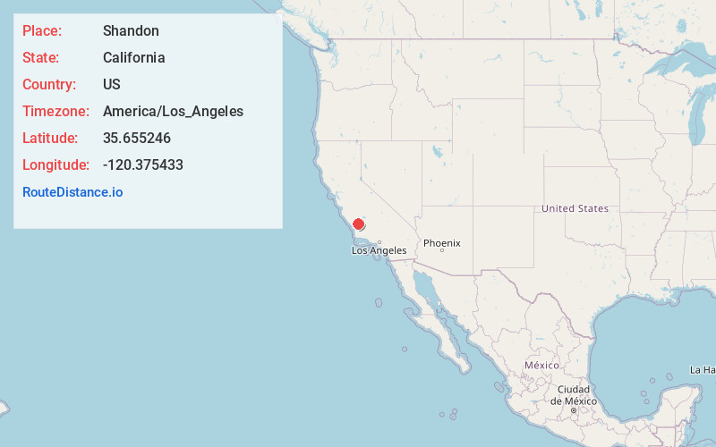
Full AddressShandon, CA 93461
-
Coordinates35.6552464, -120.3754325
-
LocationShandon , California , US
-
TimezoneAmerica/Los_Angeles
-
Current Local Time4:47:58 AM America/Los_AngelesSaturday, June 21, 2025
-
Page Views0
About Shandon
Shandon is a village and census-designated place in San Luis Obispo County, California, United States. The population was 1,295 at the 2010 census, up from 986 at the 2000 census. Shandon lies by the San Juan River.


Nearby Places
Found 10 places within 50 miles

Paso Robles
15.7 mi
25.3 km
Paso Robles, CA 93446
Get directions

San Miguel
19.2 mi
30.9 km
San Miguel, CA 93451
Get directions

Templeton
20.0 mi
32.2 km
Templeton, CA
Get directions

Atascadero
20.2 mi
32.5 km
Atascadero, CA 93422
Get directions

Avenal
27.8 mi
44.7 km
Avenal, CA
Get directions

Lake Nacimiento
28.7 mi
46.2 km
Lake Nacimiento, CA 93446
Get directions

San Luis Obispo
30.3 mi
48.8 km
San Luis Obispo, CA
Get directions

Cayucos
32.5 mi
52.3 km
Cayucos, CA 93430
Get directions

Morro Bay
33.3 mi
53.6 km
Morro Bay, CA
Get directions

Coalinga
33.5 mi
53.9 km
Coalinga, CA 93210
Get directions
Location Links
Local Weather
Weather Information
Coming soon!
Location Map
Static map view of Shandon, California
Browse Places by Distance
Places within specific distances from Shandon
Short Distances
Long Distances
Click any distance to see all places within that range from Shandon. Distances shown in miles (1 mile ≈ 1.61 kilometers).