Distance to Shawnee National Forest, Illinois

Calculating Your Route
Just a moment while we process your request...
Location Information
-
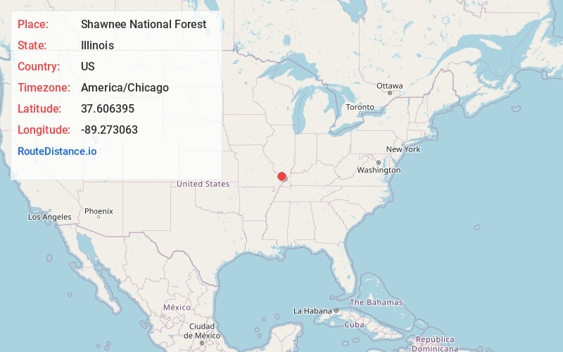
Full AddressShawnee National Forest, Herod, IL 62946
-
Coordinates37.6063948, -89.2730626
-
LocationHerod , Illinois , US
-
TimezoneAmerica/Chicago
-
Current Local Time11:03:30 AM America/ChicagoMonday, June 23, 2025
-
Website
-
Page Views0
About Shawnee National Forest
Woodlands, rolling hills & lakes for swimming, hiking, camping, fishing, rock-climbing & more.


Nearby Places
Found 10 places within 50 miles

Alto Pass
3.5 mi
5.6 km
Alto Pass, IL 62905
Get directions

Makanda
3.6 mi
5.8 km
Makanda, IL 62958
Get directions

Pomona
3.8 mi
6.1 km
Pomona, IL 62975
Get directions

Pomona Township
5.2 mi
8.4 km
Pomona Township, IL
Get directions

Cobden
5.3 mi
8.5 km
Cobden, IL 62920
Get directions

Mountain Glen
5.5 mi
8.9 km
Mountain Glen, Cobden District 2 Precinct, IL 62920
Get directions
Boskydell
5.5 mi
8.9 km
Boskydell, IL 62903
Get directions
Kaolin
6.7 mi
10.8 km
Kaolin, Cobden District 2 Precinct, IL 62920
Get directions
Poplar Ridge
8.4 mi
13.5 km
Poplar Ridge, Murphysboro Township, IL 62966
Get directions

Carbondale
8.9 mi
14.3 km
Carbondale, IL
Get directions
Location Links
Local Weather
Weather Information
Coming soon!
Location Map
Static map view of Shawnee National Forest, Illinois
Browse Places by Distance
Places within specific distances from Shawnee National Forest
Short Distances
Long Distances
Click any distance to see all places within that range from Shawnee National Forest. Distances shown in miles (1 mile ≈ 1.61 kilometers).