Distance to Shawnee, Colorado

Calculating Your Route
Just a moment while we process your request...
Location Information
-
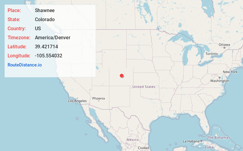
Full AddressShawnee, CO
-
Coordinates39.4217144, -105.5540321
-
LocationShawnee , Colorado , US
-
TimezoneAmerica/Denver
-
Current Local Time9:23:19 PM America/DenverSaturday, June 21, 2025
-
Page Views0
About Shawnee
Shawnee is an unincorporated community and post office in northern Park County, Colorado, United States, that is a historic district listed on the National Register of Historic Places.


Nearby Places
Found 10 places within 50 miles

Singleton
3.0 mi
4.8 km
Singleton, CO 80475
Get directions

Bailey
4.2 mi
6.8 km
Bailey, CO 80421
Get directions
Santa Maria
4.7 mi
7.6 km
Santa Maria, CO 80448
Get directions
Rock Creek
5.7 mi
9.2 km
Rock Creek, Bailey, CO 80421
Get directions
Insmont
5.8 mi
9.3 km
Insmont, Bailey, CO 80421
Get directions

Grant
6.4 mi
10.3 km
Grant, CO
Get directions

Harris Park
7.1 mi
11.4 km
Harris Park, Bailey, CO 80421
Get directions
Estabrook
7.2 mi
11.6 km
Estabrook, Bailey, CO 80421
Get directions
Crossons
9.1 mi
14.6 km
Crossons, CO 80470
Get directions
Webster
9.2 mi
14.8 km
Webster, CO 80435
Get directions
Location Links
Local Weather
Weather Information
Coming soon!
Location Map
Static map view of Shawnee, Colorado
Browse Places by Distance
Places within specific distances from Shawnee
Short Distances
Long Distances
Click any distance to see all places within that range from Shawnee. Distances shown in miles (1 mile ≈ 1.61 kilometers).