Distance to Shawnee, Florida

Calculating Your Route
Just a moment while we process your request...
Location Information
-
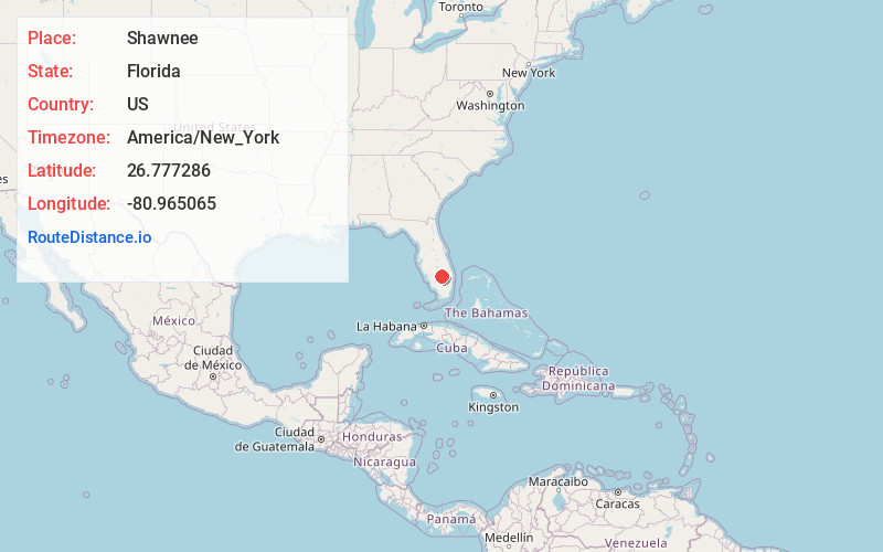
Full AddressShawnee, FL 33471
-
Coordinates26.7772859, -80.9650649
-
LocationShawnee , Florida , US
-
TimezoneAmerica/New_York
-
Current Local Time7:39:33 PM America/New_YorkThursday, June 19, 2025
-
Page Views0
Nearby Places
Found 10 places within 50 miles

Sugarton
0.9 mi
1.4 km
Sugarton, FL 33440
Get directions

Clewiston
2.5 mi
4.0 km
Clewiston, FL 33440
Get directions

Harlem
2.9 mi
4.7 km
Harlem, FL 33440
Get directions
Benbow
5.6 mi
9.0 km
Benbow, FL 33471
Get directions
South Clewiston
6.1 mi
9.8 km
South Clewiston, FL 33440
Get directions
Keela
8.1 mi
13.0 km
Keela, FL 33440
Get directions
Mott
8.5 mi
13.7 km
Mott, FL 33440
Get directions

Moore Haven
8.8 mi
14.2 km
Moore Haven, FL 33471
Get directions

Lake Harbor
11.0 mi
17.7 km
Lake Harbor, FL
Get directions
Sarasota Colony
16.7 mi
26.9 km
Sarasota Colony, FL 34974
Get directions
Location Links
Local Weather
Weather Information
Coming soon!
Location Map
Static map view of Shawnee, Florida
Browse Places by Distance
Places within specific distances from Shawnee
Short Distances
Long Distances
Click any distance to see all places within that range from Shawnee. Distances shown in miles (1 mile ≈ 1.61 kilometers).