Distance to Shell Rock, Iowa

Calculating Your Route
Just a moment while we process your request...
Location Information
-
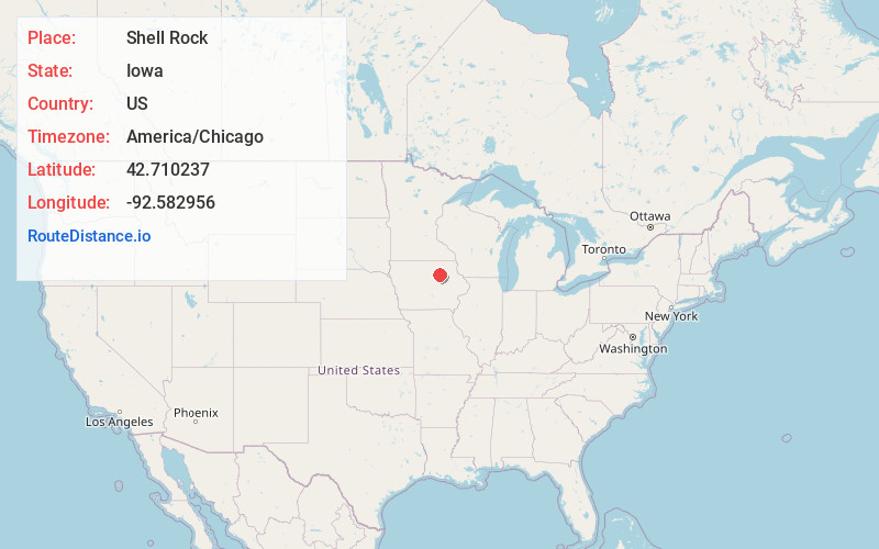
Full AddressShell Rock, IA
-
Coordinates42.710237, -92.5829563
-
LocationShell Rock , Iowa , US
-
TimezoneAmerica/Chicago
-
Current Local Time1:26:02 PM America/ChicagoTuesday, July 1, 2025
-
Page Views0
About Shell Rock
Shell Rock is a city in Butler County, Iowa, United States, along the Shell Rock River. The population was 1,268 at the time of the 2020 census. The city is located along the county's eastern border, between Butler and Bremer counties. A post office opened in Shell Rock in 1855.


Nearby Places
Found 10 places within 50 miles

Waverly
6.0 mi
9.7 km
Waverly, IA 50677
Get directions

Denver
12.8 mi
20.6 km
Denver, IA 50622
Get directions

Parkersburg
13.8 mi
22.2 km
Parkersburg, IA 50665
Get directions

Cedar Falls
14.0 mi
22.5 km
Cedar Falls, IA
Get directions

Waterloo
19.4 mi
31.2 km
Waterloo, IA
Get directions
Hudson
22.0 mi
35.4 km
Hudson, IA
Get directions

Evansdale
22.7 mi
36.5 km
Evansdale, IA 50707
Get directions

Charles City
25.0 mi
40.2 km
Charles City, IA 50616
Get directions

Grundy Center
25.9 mi
41.7 km
Grundy Center, IA 50638
Get directions
Ackley
26.2 mi
42.2 km
Ackley, IA 50601
Get directions
Location Links
Local Weather
Weather Information
Coming soon!
Location Map
Static map view of Shell Rock, Iowa
Browse Places by Distance
Places within specific distances from Shell Rock
Short Distances
Long Distances
Click any distance to see all places within that range from Shell Rock. Distances shown in miles (1 mile ≈ 1.61 kilometers).