Distance to Sherborn, Massachusetts

Calculating Your Route
Just a moment while we process your request...
Location Information
-
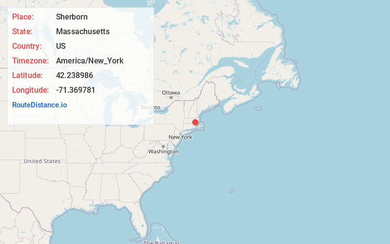
Full AddressSherborn, MA
-
Coordinates42.2389857, -71.3697813
-
LocationSherborn , Massachusetts , US
-
TimezoneAmerica/New_York
-
Current Local Time10:30:42 AM America/New_YorkSaturday, June 7, 2025
-
Page Views0
About Sherborn
Sherborn is a town in Middlesex County, Massachusetts, United States. Located in Boston's MetroWest region, the community is within area code 508 and has the ZIP Code 01770. As of the 2020 U.S. Census, the town population was 4,401.
Sherborn shares its highly ranked public school system with the town of Dover.


Nearby Places
Found 10 places within 50 miles

Natick
2.9 mi
4.7 km
Natick, MA
Get directions

Framingham
3.7 mi
6.0 km
Framingham, MA
Get directions

Holliston
3.9 mi
6.3 km
Holliston, MA 01746
Get directions

Dover
4.6 mi
7.4 km
Dover, MA 02030
Get directions

Medfield
4.8 mi
7.7 km
Medfield, MA 02052
Get directions

Ashland
5.0 mi
8.0 km
Ashland, MA
Get directions

Millis
5.1 mi
8.2 km
Millis, MA 02054
Get directions

Medway
6.9 mi
11.1 km
Medway, MA 02053
Get directions

Wellesley
7.1 mi
11.4 km
Wellesley, MA
Get directions

Needham
7.3 mi
11.7 km
Needham, MA
Get directions
Location Links
Local Weather
Weather Information
Coming soon!
Location Map
Static map view of Sherborn, Massachusetts
Browse Places by Distance
Places within specific distances from Sherborn
Short Distances
Long Distances
Click any distance to see all places within that range from Sherborn. Distances shown in miles (1 mile ≈ 1.61 kilometers).