Distance to Sherman County, Nebraska

Calculating Your Route
Just a moment while we process your request...
Location Information
-
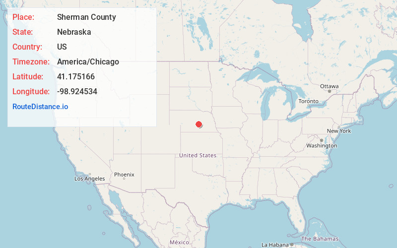
Full AddressSherman County, NE
-
Coordinates41.1751661, -98.9245343
-
LocationNebraska , US
-
TimezoneAmerica/Chicago
-
Current Local Time1:43:45 PM America/ChicagoSaturday, June 14, 2025
-
Page Views1
About Sherman County
Sherman County is a county in the U.S. state of Nebraska. As of the 2020 United States census, the population was 2,959. Its county seat is Loup City. The county was created in 1870, and was organized in 1872. It was named for American Civil War General William Tecumseh Sherman.
Nearby Places
Found 10 places within 50 miles

Rockville
6.2 mi
10.0 km
Rockville, NE 68871
Get directions

Loup City
7.3 mi
11.7 km
Loup City, NE 68853
Get directions

Ashton
8.4 mi
13.5 km
Ashton, NE 68817
Get directions

Hazard
9.9 mi
15.9 km
Hazard, NE 68844
Get directions
Sweetwater
10.0 mi
16.1 km
Sweetwater, NE 68844
Get directions

Ravenna
10.3 mi
16.6 km
Ravenna, NE 68869
Get directions

Litchfield
12.0 mi
19.3 km
Litchfield, NE 68852
Get directions
Boelus
12.9 mi
20.8 km
Boelus, NE 68820
Get directions
Poole
13.7 mi
22.0 km
Poole, NE 68869
Get directions
St Michael
13.9 mi
22.4 km
St Michael, NE 68869
Get directions
Location Links
Local Weather
Weather Information
Coming soon!
Location Map
Static map view of Sherman County, Nebraska
Browse Places by Distance
Places within specific distances from Sherman County
Short Distances
Long Distances
Click any distance to see all places within that range from Sherman County. Distances shown in miles (1 mile ≈ 1.61 kilometers).