Distance to Shirley, Indiana

Calculating Your Route
Just a moment while we process your request...
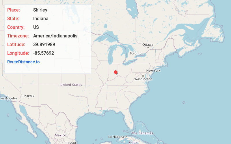
Location Information
-
Full AddressShirley, IN
-
Coordinates39.891989, -85.5769197
-
LocationShirley , Indiana , US
-
TimezoneAmerica/Indianapolis
-
Page Views0
About Shirley
Shirley is a town in Brown Township, Hancock County and Greensboro Township, Henry County, Indiana, United States. The population was 819 at the 2020 census.


Nearby Places
Found 10 places within 50 miles

Knightstown
7.2 mi
11.6 km
Knightstown, IN 46148
Get directions

New Castle
11.2 mi
18.0 km
New Castle, IN 47362
Get directions

Middletown
11.6 mi
18.7 km
Middletown, IN 47356
Get directions

Pendleton
11.8 mi
19.0 km
Pendleton, IN
Get directions

Greenfield
12.6 mi
20.3 km
Greenfield, IN 46140
Get directions

Ingalls
12.9 mi
20.8 km
Ingalls, IN
Get directions

Fortville
14.6 mi
23.5 km
Fortville, IN
Get directions

Chesterfield
15.3 mi
24.6 km
Chesterfield, IN
Get directions

Anderson
15.7 mi
25.3 km
Anderson, IN
Get directions

Daleville
16.0 mi
25.7 km
Daleville, IN 47334
Get directions
Location Links
Local Weather
Weather Information
Coming soon!
Location Map
Static map view of Shirley, Indiana
Browse Places by Distance
Places within specific distances from Shirley
Short Distances
Long Distances
Click any distance to see all places within that range from Shirley. Distances shown in miles (1 mile ≈ 1.61 kilometers).