Distance to Shupe, Virginia

Calculating Your Route
Just a moment while we process your request...
Location Information
-
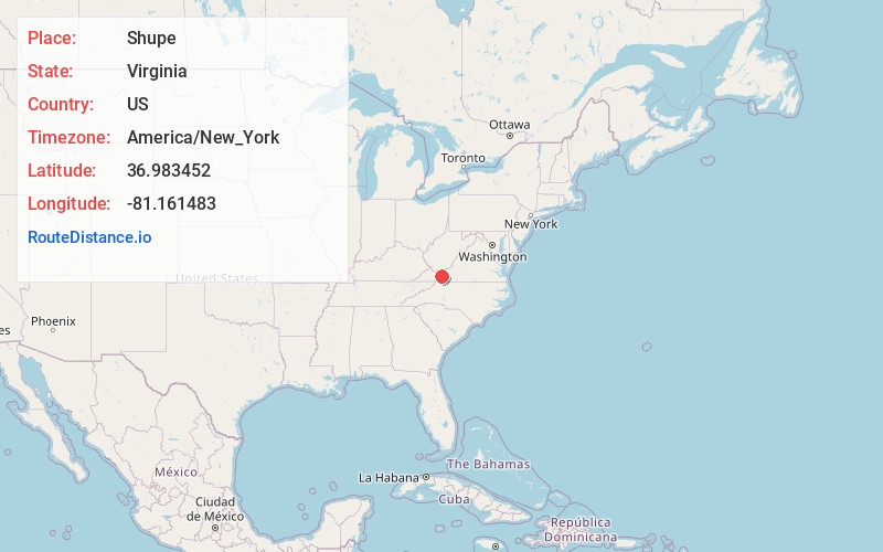
Full AddressShupe, VA 24382
-
Coordinates36.983452, -81.1614826
-
LocationVirginia , US
-
TimezoneAmerica/New_York
-
Current Local Time7:02:14 PM America/New_YorkSaturday, May 31, 2025
-
Page Views0
About Shupe
Shupe is an unincorporated community in Wythe County, Virginia, United States.
Nearby Places
Found 10 places within 50 miles

Favonia
1.4 mi
2.3 km
Favonia, VA 24382
Get directions
Cline
3.5 mi
5.6 km
Cline, VA 24382
Get directions

Wytheville
4.9 mi
7.9 km
Wytheville, VA 24382
Get directions
Carnot
5.4 mi
8.7 km
Carnot, VA 24084
Get directions
Staley Crossroads
8.0 mi
12.9 km
Staley Crossroads, Rural Retreat, VA 24368
Get directions
Sharon Springs
8.3 mi
13.4 km
Sharon Springs, VA 24318
Get directions

Bland
8.6 mi
13.8 km
Bland, VA 24315
Get directions

Rural Retreat
8.9 mi
14.3 km
Rural Retreat, VA
Get directions

Ceres
10.3 mi
16.6 km
Ceres, VA 24318
Get directions

Bastian
11.7 mi
18.8 km
Bastian, VA 24314
Get directions
Location Links
Local Weather
Weather Information
Coming soon!
Location Map
Static map view of Shupe, Virginia
Browse Places by Distance
Places within specific distances from Shupe
Short Distances
Long Distances
Click any distance to see all places within that range from Shupe. Distances shown in miles (1 mile ≈ 1.61 kilometers).