Distance to Sidney, Kentucky

Calculating Your Route
Just a moment while we process your request...
Location Information
-
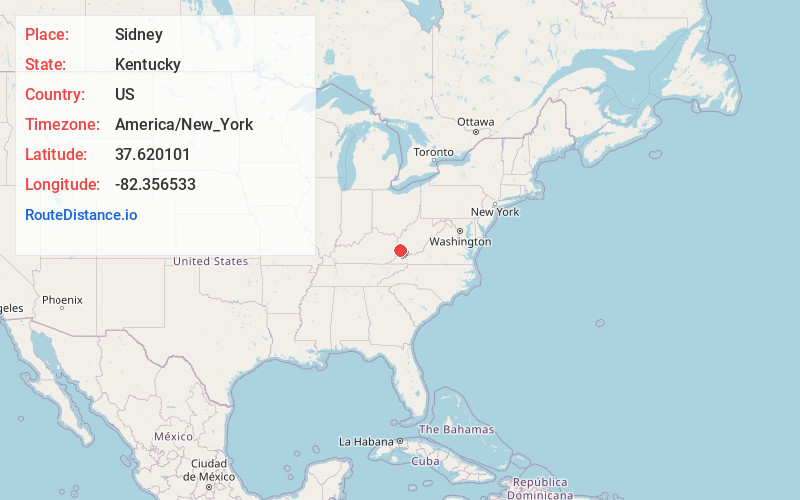
Full AddressSidney, KY 41564
-
Coordinates37.6201011, -82.3565332
-
LocationSidney , Kentucky , US
-
TimezoneAmerica/New_York
-
Current Local Time1:45:02 PM America/New_YorkTuesday, June 24, 2025
-
Page Views0
About Sidney
Sidney is an unincorporated community in Pike County, Kentucky, United States, nestled at the intersection of KY 486 and KY 3220. Although Sidney is unincorporated, it has its own volunteer fire department. There are also several coal mining operations that are still in use.
Nearby Places
Found 10 places within 50 miles

Canada
2.0 mi
3.2 km
Canada, KY 41519
Get directions

Varney
3.9 mi
6.3 km
Varney, KY 41571
Get directions

Turkey Creek
4.2 mi
6.8 km
Turkey Creek, KY 41514
Get directions

Belfry
4.8 mi
7.7 km
Belfry, KY 41514
Get directions
Sharondale
4.9 mi
7.9 km
Sharondale, KY 41535
Get directions
Stone
5.2 mi
8.4 km
Stone, KY 41567
Get directions
Leckieville
5.3 mi
8.5 km
Leckieville, KY 41514
Get directions
Goody
5.6 mi
9.0 km
Goody, KY 41514
Get directions
Meta
5.6 mi
9.0 km
Meta, KY 41501
Get directions

Williamson
5.7 mi
9.2 km
Williamson, WV 25661
Get directions
Location Links
Local Weather
Weather Information
Coming soon!
Location Map
Static map view of Sidney, Kentucky
Browse Places by Distance
Places within specific distances from Sidney
Short Distances
Long Distances
Click any distance to see all places within that range from Sidney. Distances shown in miles (1 mile ≈ 1.61 kilometers).