Distance to Signal, Arizona

Calculating Your Route
Just a moment while we process your request...
Location Information
-
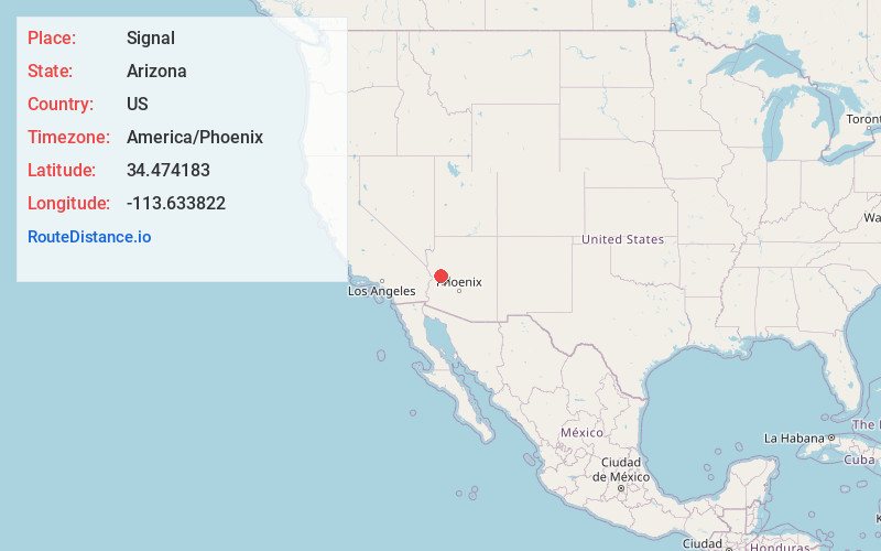
Full AddressSignal, AZ 85360
-
Coordinates34.4741831, -113.6338223
-
LocationSignal , Arizona , US
-
TimezoneAmerica/Phoenix
-
Current Local Time4:58:38 AM America/PhoenixTuesday, June 17, 2025
-
Page Views0
About Signal
Signal is a ghost town located on the banks of the Big Sandy River in southern Mohave County, Arizona, United States. The town was a mining center from the 1870s to 1930s. The peak population was around 800. Remnants of the town can still be seen today along with nearby Virginia City.


Nearby Places
Found 10 places within 50 miles

Greenwood
3.2 mi
5.1 km
Greenwood, AZ 86438
Get directions
Goodwater Tank
11.9 mi
19.2 km
Goodwater Tank, Arizona 85360
Get directions

Wikieup
16.0 mi
25.7 km
Wikieup, AZ 85360
Get directions

Alamo Lake
16.5 mi
26.6 km
Alamo Lake, AZ
Get directions
Cedar
22.9 mi
36.9 km
Cedar, AZ 86438
Get directions

Swansea
24.3 mi
39.1 km
Swansea, AZ 85325
Get directions

Bagdad
26.8 mi
43.1 km
Bagdad, AZ 86321
Get directions

Parker Strip
31.3 mi
50.4 km
Parker Strip, AZ 85344
Get directions

Parker Dam
31.8 mi
51.2 km
Parker Dam, CA 92267
Get directions

Black Meadow Landing
33.2 mi
53.4 km
Black Meadow Landing, CA 92267
Get directions
Location Links
Local Weather
Weather Information
Coming soon!
Location Map
Static map view of Signal, Arizona
Browse Places by Distance
Places within specific distances from Signal
Short Distances
Long Distances
Click any distance to see all places within that range from Signal. Distances shown in miles (1 mile ≈ 1.61 kilometers).