Distance to Silverwood, Michigan

Calculating Your Route
Just a moment while we process your request...
Location Information
-
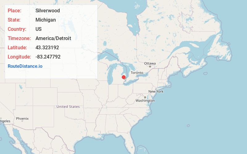
Full AddressSilverwood, MI 48760
-
Coordinates43.3231918, -83.2477917
-
LocationSilverwood , Michigan , US
-
TimezoneAmerica/Detroit
-
Current Local Time11:46:42 PM America/DetroitSunday, June 15, 2025
-
Page Views0
About Silverwood
Silverwood is an unincorporated community on the border of Rich Township, Lapeer County and Dayton Township, Tuscola County in Michigan at 43°19′24″N 83°14′53″W.

Nearby Places
Found 10 places within 50 miles

Clifford
3.5 mi
5.6 km
Clifford, MI 48727
Get directions

Mayville
5.3 mi
8.5 km
Mayville, MI 48744
Get directions

North Branch
7.0 mi
11.3 km
North Branch, MI 48461
Get directions

Kingston
7.0 mi
11.3 km
Kingston, MI 48741
Get directions

Watertown Township
8.4 mi
13.5 km
Watertown Township, MI
Get directions

Marlette
8.4 mi
13.5 km
Marlette, MI 48453
Get directions
Dayton
9.8 mi
15.8 km
Dayton, MI 48723
Get directions

Otter Lake
12.9 mi
20.8 km
Otter Lake, MI 48464
Get directions
Kings Mill
13.1 mi
21.1 km
Kings Mill, Arcadia Township, MI 48461
Get directions

Caro
13.8 mi
22.2 km
Caro, MI 48723
Get directions
Location Links
Local Weather
Weather Information
Coming soon!
Location Map
Static map view of Silverwood, Michigan
Browse Places by Distance
Places within specific distances from Silverwood
Short Distances
Long Distances
Click any distance to see all places within that range from Silverwood. Distances shown in miles (1 mile ≈ 1.61 kilometers).