Distance to Sitka, Kansas

Calculating Your Route
Just a moment while we process your request...
Location Information
-
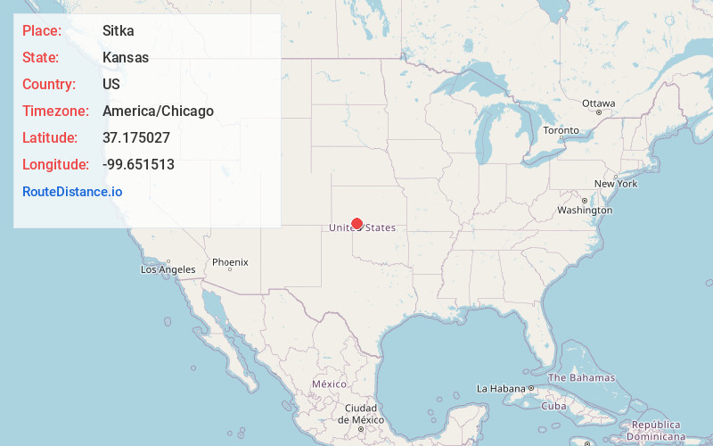
Full AddressSitka, KS 67831
-
Coordinates37.1750265, -99.6515129
-
LocationSitka , Kansas , US
-
TimezoneAmerica/Chicago
-
Current Local Time7:41:21 AM America/ChicagoFriday, June 13, 2025
-
Page Views0
About Sitka
Sitka is an unincorporated community in Clark County, Kansas, United States.
Nearby Places
Found 10 places within 50 miles

Ashland
6.4 mi
10.3 km
Ashland, KS 67831
Get directions

Protection
9.4 mi
15.1 km
Protection, KS 67127
Get directions

Coldwater
19.0 mi
30.6 km
Coldwater, KS 67029
Get directions

Englewood
20.6 mi
33.2 km
Englewood, KS 67831
Get directions

Buffalo
23.5 mi
37.8 km
Buffalo, OK
Get directions

Bucklin
25.7 mi
41.4 km
Bucklin, KS 67834
Get directions

Wilmore
26.7 mi
43.0 km
Wilmore, KS 67155
Get directions

Minneola
27.3 mi
43.9 km
Minneola, KS 67865
Get directions
Rosston
29.5 mi
47.5 km
Rosston, OK
Get directions

Mullinville
30.0 mi
48.3 km
Mullinville, KS 67109
Get directions
Location Links
Local Weather
Weather Information
Coming soon!
Location Map
Static map view of Sitka, Kansas
Browse Places by Distance
Places within specific distances from Sitka
Short Distances
Long Distances
Click any distance to see all places within that range from Sitka. Distances shown in miles (1 mile ≈ 1.61 kilometers).