Distance to Sittingbourne

Calculating Your Route
Just a moment while we process your request...
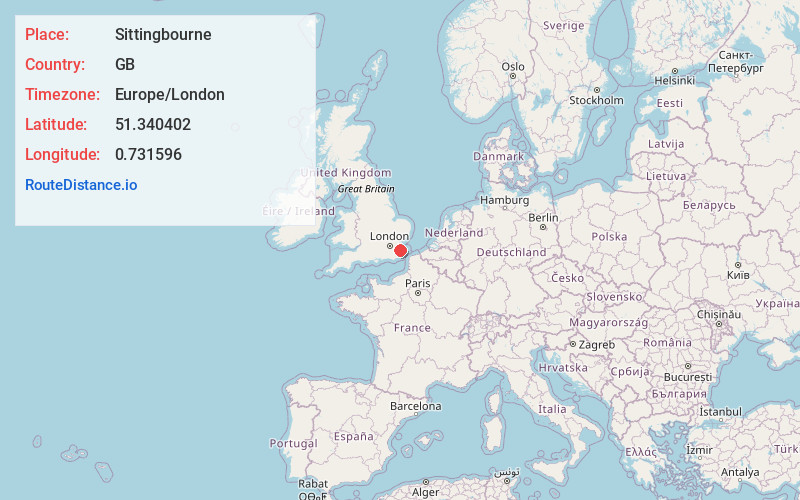
Location Information
-
Full AddressSittingbourne, UK
-
Coordinates51.340402, 0.731596
-
LocationSittingbourne , GB
-
TimezoneEurope/London
-
Current Local Time11:45:16 AM Europe/LondonSaturday, May 24, 2025
-
Page Views0
About Sittingbourne
Sittingbourne is an industrial town in the Swale district of Kent, southeast England, 17 miles from Canterbury and 45 miles from London, beside the Roman Watling Street, an ancient trackway used by the Romans and the Anglo-Saxons.


Nearby Places
Found 10 places within 50 miles

Faversham
7.0 mi
11.3 km
Faversham, UK
Get directions

Maidstone
10.2 mi
16.4 km
Maidstone, UK
Get directions

Whitstable
12.7 mi
20.4 km
Whitstable, UK
Get directions

Canterbury
15.6 mi
25.1 km
Canterbury, UK
Get directions

Kent
17.7 mi
28.5 km
Kent, UK
Get directions

Sevenoaks
23.8 mi
38.3 km
Sevenoaks, UK
Get directions

TN5
25.0 mi
40.2 km
Wadhurst TN5, UK
Get directions

White Cliffs of Dover
30.6 mi
49.2 km
White Cliffs of Dover, United Kingdom
Get directions

Essex
31.4 mi
50.5 km
Essex, UK
Get directions

Waterloo Station
38.1 mi
61.3 km
Waterloo Station, London SE1 8SR, UK
Get directions
Location Links
Local Weather
Weather Information
Coming soon!
Location Map
Static map view of Sittingbourne
Browse Places by Distance
Places within specific distances from Sittingbourne
Short Distances
Long Distances
Click any distance to see all places within that range from Sittingbourne. Distances shown in miles (1 mile ≈ 1.61 kilometers).