Distance to Sixty Six, South Carolina

Calculating Your Route
Just a moment while we process your request...
Location Information
-
Full AddressSixty Six, SC 29432
-
Coordinates33.30556, -80.82639
-
LocationSixty Six , South Carolina , US
-
TimezoneAmerica/New_York
-
Current Local Time5:26:51 AM America/New_YorkWednesday, June 18, 2025
-
Page Views0
About Sixty Six
Sixty Six is an unincorporated community in Orangeburg County, South Carolina, United States. Sixty Six is located along U.S. Route 21, north of Branchville.
Nearby Places
Found 10 places within 50 miles

Branchville
3.8 mi
6.1 km
Branchville, SC 29432
Get directions

Rowesville
4.5 mi
7.2 km
Rowesville, SC 29133
Get directions
Embree
5.0 mi
8.0 km
Embree, SC 29003
Get directions
Lambrick
5.3 mi
8.5 km
Lambrick, SC 29432
Get directions
Canaan
6.8 mi
10.9 km
Canaan, SC 29038
Get directions

Bowman
8.9 mi
14.3 km
Bowman, SC 29018
Get directions
Midway
8.9 mi
14.3 km
Midway, SC 29003
Get directions
Felder
8.9 mi
14.3 km
Felder, SC 29115
Get directions
Dorange
9.0 mi
14.5 km
Dorange, SC 29471
Get directions
Cordova
10.5 mi
16.9 km
Cordova, SC 29039
Get directions
Location Links
Local Weather
Weather Information
Coming soon!
Location Map
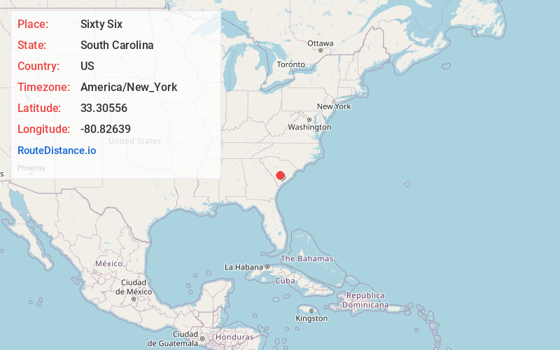
Static map view of Sixty Six, South Carolina
Browse Places by Distance
Places within specific distances from Sixty Six
Short Distances
Long Distances
Click any distance to see all places within that range from Sixty Six. Distances shown in miles (1 mile ≈ 1.61 kilometers).