Distance to Cordova, South Carolina

Calculating Your Route
Just a moment while we process your request...
Location Information
-
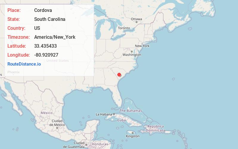
Full AddressCordova, SC 29039
-
Coordinates33.4354328, -80.9209272
-
LocationCordova , South Carolina , US
-
TimezoneAmerica/New_York
-
Current Local Time3:37:08 PM America/New_YorkSunday, June 22, 2025
-
Page Views0
About Cordova
Cordova is a town in Orangeburg County, South Carolina, United States. The population was 169 at the 2010 census.
Despite its small size, Cordova is home to both a High School and a Primary School, a fire department, and a single Daycare.
Nearby Places
Found 10 places within 50 miles

Orangeburg
5.4 mi
8.7 km
Orangeburg, SC
Get directions

Wilkinson Heights
6.6 mi
10.6 km
Wilkinson Heights, SC 29115
Get directions
Rowesville
6.6 mi
10.6 km
Rowesville, SC 29133
Get directions
Brookdale
7.5 mi
12.1 km
Brookdale, SC 29115
Get directions

Bamberg
11.6 mi
18.7 km
Bamberg, SC 29003
Get directions

Norway
11.8 mi
19.0 km
Norway, SC 29113
Get directions

Neeses
13.4 mi
21.6 km
Neeses, SC
Get directions

Branchville
14.1 mi
22.7 km
Branchville, SC 29432
Get directions

Cameron
14.8 mi
23.8 km
Cameron, SC 29030
Get directions

Denmark
15.0 mi
24.1 km
Denmark, SC 29042
Get directions
Location Links
Local Weather
Weather Information
Coming soon!
Location Map
Static map view of Cordova, South Carolina
Browse Places by Distance
Places within specific distances from Cordova
Short Distances
Long Distances
Click any distance to see all places within that range from Cordova. Distances shown in miles (1 mile ≈ 1.61 kilometers).