Distance to Slim, Oklahoma

Calculating Your Route
Just a moment while we process your request...
Location Information
-
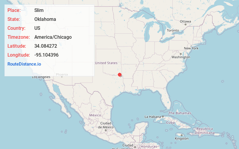
Full AddressSlim, OK 74764
-
Coordinates34.0842723, -95.1043956
-
LocationOklahoma , US
-
TimezoneAmerica/Chicago
-
Current Local Time7:50:25 PM America/ChicagoWednesday, June 4, 2025
-
Page Views0
About Slim
Slim was an unincorporated community in southwestern McCurtain County, Oklahoma, United States. The community is located six miles north of Valliant. The community is about one-half mile south of Pine Creek Lake and the community of Mound Grove is one mile east.
Nearby Places
Found 10 places within 50 miles

Rufe
3.5 mi
5.6 km
Rufe, OK 74755
Get directions
Felker
4.2 mi
6.8 km
Felker, OK 74764
Get directions

Valliant
5.7 mi
9.2 km
Valliant, OK 74764
Get directions
Alikchi
5.8 mi
9.3 km
Alikchi, OK 74764
Get directions
Wright City
6.0 mi
9.7 km
Wright City, OK 74745
Get directions

Ringold
6.4 mi
10.3 km
Ringold, OK 74754
Get directions

Swink
7.3 mi
11.7 km
Swink, OK 74761
Get directions
Millerton
8.6 mi
13.8 km
Millerton, OK
Get directions

Fort Towson
10.3 mi
16.6 km
Fort Towson, OK 74735
Get directions
Farmers Hill
12.1 mi
19.5 km
Farmers Hill, OK 74750
Get directions
Location Links
Local Weather
Weather Information
Coming soon!
Location Map
Static map view of Slim, Oklahoma
Browse Places by Distance
Places within specific distances from Slim
Short Distances
Long Distances
Click any distance to see all places within that range from Slim. Distances shown in miles (1 mile ≈ 1.61 kilometers).