Distance to Sly Park, California

Calculating Your Route
Just a moment while we process your request...
Location Information
-
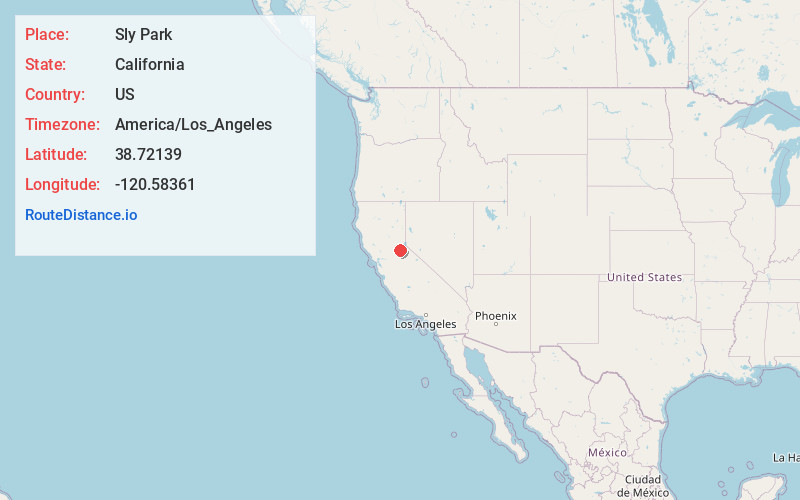
Full AddressSly Park, CA 95726
-
Coordinates38.72139, -120.58361
-
LocationSly Park , California , US
-
TimezoneAmerica/Los_Angeles
-
Current Local Time4:46:41 AM America/Los_AngelesThursday, May 22, 2025
-
Page Views0
About Sly Park
Sly Park is an unincorporated community in El Dorado County, California. It is located in Sly Valley 13 miles east of Placerville, at an elevation of 3560 feet.
A post office operated at Sly Park from 1891 to 1919, with several moves. The name honors James Sly, one of the Mormons who discovered Sly Valley.


Nearby Places
Found 10 places within 50 miles

Sierra Springs
1.8 mi
2.9 km
Sierra Springs, CA 95726
Get directions

Pollock Pines
2.8 mi
4.5 km
Pollock Pines, CA
Get directions
Ditch Camp Five
3.6 mi
5.8 km
Ditch Camp Five, Pollock Pines, CA 95726
Get directions

Fresh Pond
3.9 mi
6.3 km
Fresh Pond, CA 95726
Get directions
Pacific House
5.0 mi
8.0 km
Pacific House, CA 95726
Get directions
Pacific
5.0 mi
8.0 km
Pacific, CA 95726
Get directions

Camino
5.0 mi
8.0 km
Camino, CA
Get directions

Pleasant Valley
5.0 mi
8.0 km
Pleasant Valley, CA 95667
Get directions
Van Vleck
5.4 mi
8.7 km
Van Vleck, CA 95726
Get directions
Avinsino Corner
5.4 mi
8.7 km
Avinsino Corner, CA 95667
Get directions
Location Links
Local Weather
Weather Information
Coming soon!
Location Map
Static map view of Sly Park, California
Browse Places by Distance
Places within specific distances from Sly Park
Short Distances
Long Distances
Click any distance to see all places within that range from Sly Park. Distances shown in miles (1 mile ≈ 1.61 kilometers).