Distance to Smarr, Georgia

Calculating Your Route
Just a moment while we process your request...
Location Information
-
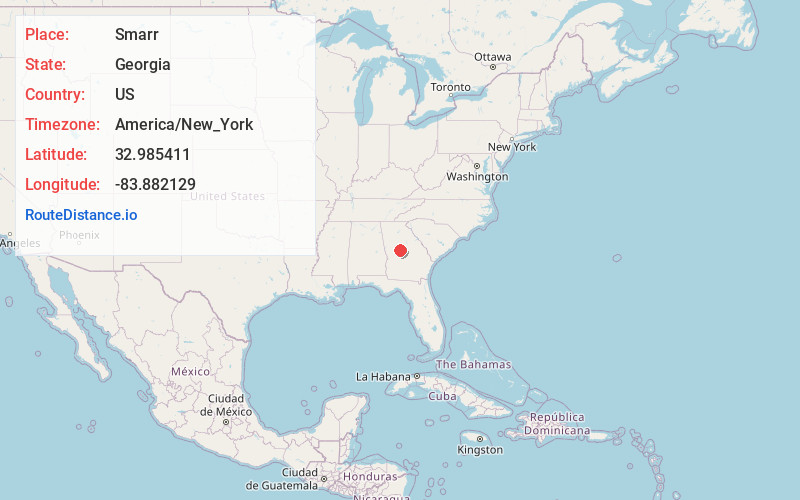
Full AddressSmarr, GA 31029
-
Coordinates32.9854111, -83.8821292
-
LocationSmarr , Georgia , US
-
TimezoneAmerica/New_York
-
Current Local Time1:27:21 AM America/New_YorkMonday, June 30, 2025
-
Page Views0
About Smarr
Smarr is an unincorporated community and census-designated place in Monroe County, in the U.S. state of Georgia. The 2020 census listed a population of 218.
Nearby Places
Found 10 places within 50 miles

Forsyth
4.7 mi
7.6 km
Forsyth, GA 31029
Get directions

Bolingbroke
5.3 mi
8.5 km
Bolingbroke, GA
Get directions

Yatesville
15.9 mi
25.6 km
Yatesville, GA 31097
Get directions

Barnesville
16.6 mi
26.7 km
Barnesville, GA 30204
Get directions

Macon
17.8 mi
28.6 km
Macon, GA
Get directions

Indian Springs
17.9 mi
28.8 km
Indian Springs, GA 30216
Get directions

Flovilla
18.6 mi
29.9 km
Flovilla, GA 30216
Get directions

Roberta
19.7 mi
31.7 km
Roberta, GA 31078
Get directions

Gray
20.3 mi
32.7 km
Gray, GA 31032
Get directions

Milner
20.3 mi
32.7 km
Milner, GA
Get directions
Location Links
Local Weather
Weather Information
Coming soon!
Location Map
Static map view of Smarr, Georgia
Browse Places by Distance
Places within specific distances from Smarr
Short Distances
Long Distances
Click any distance to see all places within that range from Smarr. Distances shown in miles (1 mile ≈ 1.61 kilometers).