Distance to Roberta, Georgia

Calculating Your Route
Just a moment while we process your request...
Location Information
-
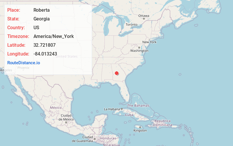
Full AddressRoberta, GA 31078
-
Coordinates32.7218072, -84.0132433
-
LocationRoberta , Georgia , US
-
TimezoneAmerica/New_York
-
Current Local Time10:30:06 AM America/New_YorkMonday, June 23, 2025
-
Page Views0
About Roberta
Roberta is a city in Crawford County, Georgia, United States. The population was 1,007 at the 2010 census. It is part of the Macon metropolitan statistical area.


Nearby Places
Found 10 places within 50 miles

Fort Valley
13.7 mi
22.0 km
Fort Valley, GA
Get directions

Byron
15.5 mi
24.9 km
Byron, GA 31008
Get directions

Butler
17.3 mi
27.8 km
Butler, GA 31006
Get directions

Centerville
19.9 mi
32.0 km
Centerville, GA
Get directions

Thomaston
21.5 mi
34.6 km
Thomaston, GA 30286
Get directions

Forsyth
22.0 mi
35.4 km
Forsyth, GA 31029
Get directions

Macon
23.5 mi
37.8 km
Macon, GA
Get directions

Warner Robins
23.8 mi
38.3 km
Warner Robins, GA
Get directions

Hannahs Mill
24.4 mi
39.3 km
Hannahs Mill, GA 30286
Get directions

Barnesville
24.4 mi
39.3 km
Barnesville, GA 30204
Get directions
Location Links
Local Weather
Weather Information
Coming soon!
Location Map
Static map view of Roberta, Georgia
Browse Places by Distance
Places within specific distances from Roberta
Short Distances
Long Distances
Click any distance to see all places within that range from Roberta. Distances shown in miles (1 mile ≈ 1.61 kilometers).