Distance to Snapfinger, Georgia

Calculating Your Route
Just a moment while we process your request...
Location Information
-
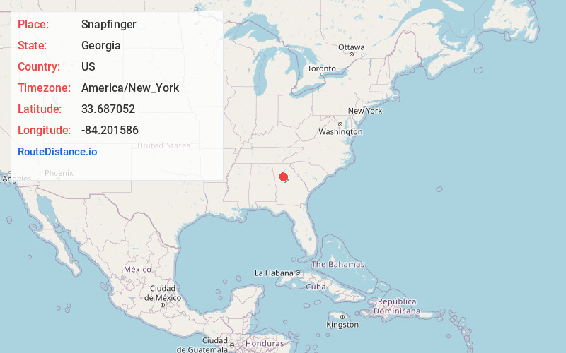
Full AddressSnapfinger, GA 30034
-
Coordinates33.6870521, -84.2015863
-
LocationSnapfinger , Georgia , US
-
TimezoneAmerica/New_York
-
Current Local Time2:16:50 PM America/New_YorkTuesday, May 27, 2025
-
Page Views0
About Snapfinger
Snapfinger is an unincorporated community in DeKalb County, Georgia, United States.
Nearby Places
Found 10 places within 50 miles

Scarbrough Cross Roads
4.0 mi
6.4 km
Scarbrough Cross Roads, GA 30294
Get directions
Panthersville
4.3 mi
6.9 km
Panthersville, GA 30034
Get directions
Redan
4.5 mi
7.2 km
Redan, GA
Get directions
Candler-McAfee
5.0 mi
8.0 km
Candler-McAfee, GA 30032
Get directions

Belvedere Park
5.6 mi
9.0 km
Belvedere Park, GA
Get directions

Lithonia
5.8 mi
9.3 km
Lithonia, GA 30058
Get directions
Gresham Park
6.7 mi
10.8 km
Gresham Park, GA
Get directions

Avondale Estates
6.9 mi
11.1 km
Avondale Estates, GA
Get directions

Pine Lake
7.4 mi
11.9 km
Pine Lake, GA
Get directions
Scottdale
8.0 mi
12.9 km
Scottdale, GA
Get directions
Location Links
Local Weather
Weather Information
Coming soon!
Location Map
Static map view of Snapfinger, Georgia
Browse Places by Distance
Places within specific distances from Snapfinger
Short Distances
Long Distances
Click any distance to see all places within that range from Snapfinger. Distances shown in miles (1 mile ≈ 1.61 kilometers).