Distance to Scottdale, Georgia

Calculating Your Route
Just a moment while we process your request...
Location Information
-
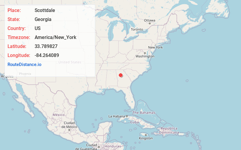
Full AddressScottdale, GA
-
Coordinates33.7898269, -84.2640889
-
LocationScottdale , Georgia , US
-
TimezoneAmerica/New_York
-
Current Local Time3:22:55 PM America/New_YorkSaturday, May 31, 2025
-
Page Views0
About Scottdale
Scottdale is an unincorporated community and census-designated place in DeKalb County, Georgia, United States. The population was 10,698 in 2020.
Nearby Places
Found 10 places within 50 miles

Clarkston
2.0 mi
3.2 km
Clarkston, GA
Get directions

Decatur
2.1 mi
3.4 km
Decatur, GA
Get directions

North Decatur
2.4 mi
3.9 km
North Decatur, GA
Get directions

Belvedere Park
2.7 mi
4.3 km
Belvedere Park, GA
Get directions

Candler-McAfee
4.5 mi
7.2 km
Candler-McAfee, GA 30032
Get directions

Tucker
5.2 mi
8.4 km
Tucker, GA
Get directions

Brookhaven
6.7 mi
10.8 km
Brookhaven, GA
Get directions
Redan
6.9 mi
11.1 km
Redan, GA
Get directions

Chamblee
7.3 mi
11.7 km
Chamblee, GA
Get directions

Atlanta
7.7 mi
12.4 km
Atlanta, GA
Get directions
Location Links
Local Weather
Weather Information
Coming soon!
Location Map
Static map view of Scottdale, Georgia
Browse Places by Distance
Places within specific distances from Scottdale
Short Distances
Long Distances
Click any distance to see all places within that range from Scottdale. Distances shown in miles (1 mile ≈ 1.61 kilometers).