Distance to Snowmass, Colorado

Calculating Your Route
Just a moment while we process your request...
Location Information
-
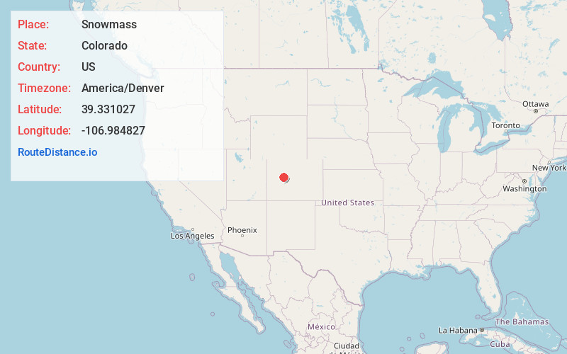
Full AddressSnowmass, CO 81654
-
Coordinates39.3310273, -106.9848271
-
LocationSnowmass , Colorado , US
-
TimezoneAmerica/Denver
-
Current Local Time5:39:51 AM America/DenverSunday, May 25, 2025
-
Page Views0
About Snowmass
Snowmass is an unincorporated community and a U.S. Post Office located in Pitkin County, Colorado, United States. It is situated in the valley of the Roaring Fork River, near the mouth of Snowmass Creek along State Highway 82 between Aspen and Basalt.


Nearby Places
Found 10 places within 50 miles

Wingo
1.7 mi
2.7 km
Wingo, CO 81654
Get directions

Emma
4.7 mi
7.6 km
Emma, CO 81621
Get directions

Basalt
5.8 mi
9.3 km
Basalt, CO
Get directions
Hooks
6.3 mi
10.1 km
Hooks, CO 81621
Get directions

Woody Creek
6.6 mi
10.6 km
Woody Creek, CO
Get directions
Leon
7.1 mi
11.4 km
Leon, CO 81621
Get directions

El Jebel
7.2 mi
11.6 km
El Jebel, CO
Get directions

Snowmass Village
8.5 mi
13.7 km
Snowmass Village, CO
Get directions
Mulford
10.1 mi
16.3 km
Mulford, Catherine, CO 81623
Get directions

Catherine
10.4 mi
16.7 km
Catherine, Mulford, CO 81623
Get directions
Location Links
Local Weather
Weather Information
Coming soon!
Location Map
Static map view of Snowmass, Colorado
Browse Places by Distance
Places within specific distances from Snowmass
Short Distances
Long Distances
Click any distance to see all places within that range from Snowmass. Distances shown in miles (1 mile ≈ 1.61 kilometers).