Distance to Snyder, Nebraska

Calculating Your Route
Just a moment while we process your request...
Location Information
-
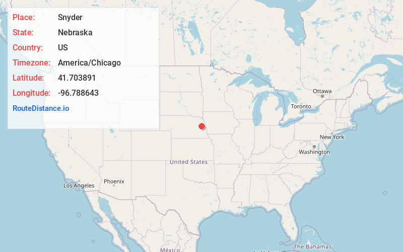
Full AddressSnyder, NE
-
Coordinates41.7038909, -96.7886426
-
LocationSnyder , Nebraska , US
-
TimezoneAmerica/Chicago
-
Current Local Time1:12:07 PM America/ChicagoSaturday, June 7, 2025
-
Page Views0
About Snyder
Snyder is a village in Dodge County, Nebraska, United States. The population was 300 at the 2010 census.


Nearby Places
Found 10 places within 50 miles

Dodge
5.0 mi
8.0 km
Dodge, NE 68633
Get directions

Scribner
6.8 mi
10.9 km
Scribner, NE 68057
Get directions

West Point
10.4 mi
16.7 km
West Point, NE 68788
Get directions

Howells
11.1 mi
17.9 km
Howells, NE 68641
Get directions

Hooper
14.0 mi
22.5 km
Hooper, NE 68031
Get directions

Beemer
15.7 mi
25.3 km
Beemer, NE 68716
Get directions

North Bend
16.7 mi
26.9 km
North Bend, NE 68649
Get directions
Clarkson
17.3 mi
27.8 km
Clarkson, NE 68629
Get directions

Oakland
18.9 mi
30.4 km
Oakland, NE 68045
Get directions

Nickerson
20.2 mi
32.5 km
Nickerson, NE 68044
Get directions
Location Links
Local Weather
Weather Information
Coming soon!
Location Map
Static map view of Snyder, Nebraska
Browse Places by Distance
Places within specific distances from Snyder
Short Distances
Long Distances
Click any distance to see all places within that range from Snyder. Distances shown in miles (1 mile ≈ 1.61 kilometers).