Distance to Sogn, Minnesota

Calculating Your Route
Just a moment while we process your request...
Location Information
-
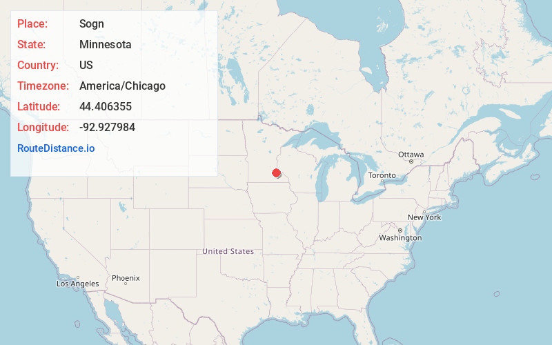
Full AddressSogn, Warsaw Township, MN 55018
-
Coordinates44.4063548, -92.9279835
-
LocationWarsaw Township , Minnesota , US
-
TimezoneAmerica/Chicago
-
Current Local Time11:46:39 AM America/ChicagoSaturday, May 24, 2025
-
Page Views0
About Sogn
Sogn is an unincorporated community in Warsaw Township, Goodhue County, Minnesota, United States.
The community is located at the junction of Goodhue County Roads 9 and 14. The Little Cannon River flows through the community. U.S. 52 and State Highway 56 are both nearby.
Nearby Places
Found 10 places within 50 miles

Wangs
2.6 mi
4.2 km
Wangs, Warsaw Township, MN 55018
Get directions
Wastedo
3.8 mi
6.1 km
Wastedo, MN 55009
Get directions
Nansen
3.9 mi
6.3 km
Nansen, Holden Township, MN 55946
Get directions

Dennison
5.5 mi
8.9 km
Dennison, MN 55018
Get directions

Cannon Falls
7.0 mi
11.3 km
Cannon Falls, MN 55009
Get directions

Nerstrand
8.2 mi
13.2 km
Nerstrand, MN 55053
Get directions

Randolph
9.4 mi
15.1 km
Randolph, MN
Get directions

Kenyon
9.7 mi
15.6 km
Kenyon, MN 55946
Get directions
Wanamingo
9.8 mi
15.8 km
Wanamingo, MN 55983
Get directions
Ryan
10.6 mi
17.1 km
Ryan, Belle Creek Township, MN 55027
Get directions
Location Links
Local Weather
Weather Information
Coming soon!
Location Map
Static map view of Sogn, Minnesota
Browse Places by Distance
Places within specific distances from Sogn
Short Distances
Long Distances
Click any distance to see all places within that range from Sogn. Distances shown in miles (1 mile ≈ 1.61 kilometers).