Distance to Solway, Kentucky

Calculating Your Route
Just a moment while we process your request...
Location Information
-
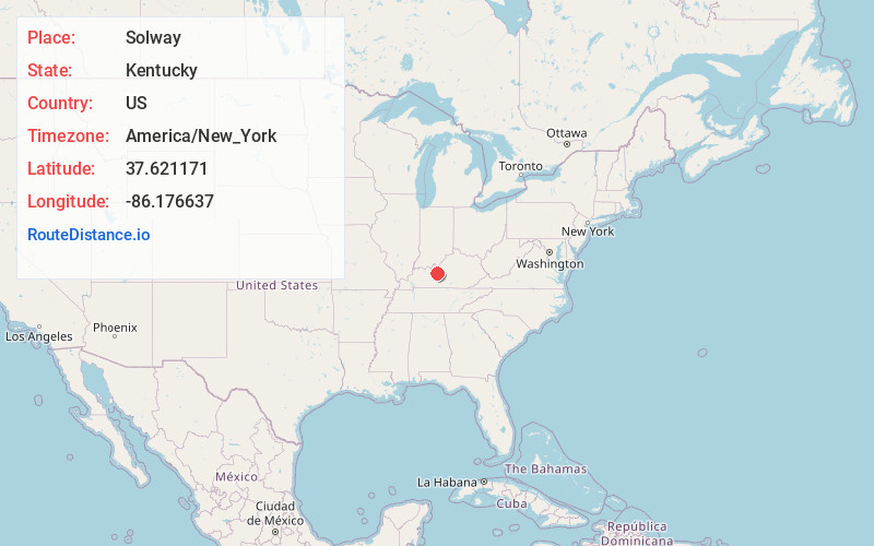
Full AddressSolway, KY 42732
-
Coordinates37.6211707, -86.1766372
-
LocationKentucky , US
-
TimezoneAmerica/New_York
-
Current Local Time12:26:46 PM America/New_YorkMonday, June 23, 2025
-
Page Views0
Nearby Places
Found 10 places within 50 miles

Pierce Mill
1.9 mi
3.1 km
Pierce Mill, KY 42712
Get directions
Limp
2.3 mi
3.7 km
Limp, KY 42732
Get directions

Big Clifty
5.4 mi
8.7 km
Big Clifty, KY
Get directions
Vertrees
5.7 mi
9.2 km
Vertrees, KY 42724
Get directions
Hudson
5.9 mi
9.5 km
Hudson, KY 40145
Get directions
Dyer
6.4 mi
10.3 km
Dyer, KY 40115
Get directions
Howe Valley
6.6 mi
10.6 km
Howe Valley, KY 42724
Get directions

Eastview
7.0 mi
11.3 km
Eastview, KY 42732
Get directions

Clarkson
9.1 mi
14.6 km
Clarkson, KY
Get directions
White Mills
9.1 mi
14.6 km
White Mills, KY 42788
Get directions
Location Links
Local Weather
Weather Information
Coming soon!
Location Map
Static map view of Solway, Kentucky
Browse Places by Distance
Places within specific distances from Solway
Short Distances
Long Distances
Click any distance to see all places within that range from Solway. Distances shown in miles (1 mile ≈ 1.61 kilometers).