Distance to South Branch Pebble Creek, Nebraska

Calculating Your Route
Just a moment while we process your request...
Location Information
-
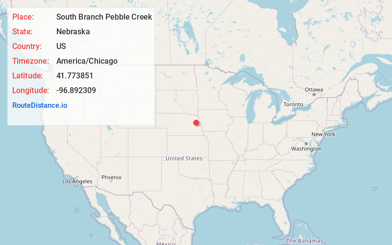
Full AddressSouth Branch Pebble Creek, Nebraska
-
Coordinates41.7738508, -96.8923088
-
LocationNebraska , US
-
TimezoneAmerica/Chicago
-
Current Local Time4:03:08 AM America/ChicagoThursday, June 5, 2025
-
Page Views0
Nearby Places
Found 10 places within 50 miles

Dodge
3.7 mi
6.0 km
Dodge, NE 68633
Get directions

Aloys
3.9 mi
6.3 km
Aloys, NE 68633
Get directions

Monterey
4.7 mi
7.6 km
Monterey, NE 68788
Get directions

Howells
6.6 mi
10.6 km
Howells, NE 68641
Get directions

Snyder
7.2 mi
11.6 km
Snyder, NE
Get directions
Crowell
10.0 mi
16.1 km
Crowell, Pebble Township, NE 68057
Get directions

West Point
10.6 mi
17.1 km
West Point, NE 68788
Get directions
Beemer
11.6 mi
18.7 km
Beemer, NE 68716
Get directions
Clarkson
12.3 mi
19.8 km
Clarkson, NE 68629
Get directions
Heun
12.5 mi
20.1 km
Heun, Midland Precinct, NE 68629
Get directions
Location Links
Local Weather
Weather Information
Coming soon!
Location Map
Static map view of South Branch Pebble Creek, Nebraska
Browse Places by Distance
Places within specific distances from South Branch Pebble Creek
Short Distances
Long Distances
Click any distance to see all places within that range from South Branch Pebble Creek. Distances shown in miles (1 mile ≈ 1.61 kilometers).